
Trusted by government at every level.
Federal agencies, state departments, tribal nations, and local governments use Ecobot to digitize aquatic resource field assessments, streamline environmental review, and modernize permitting workflows.
- Customers
- 3,796+
- Projects
- 39,812+
- Reports
- 334,551+
Every road, runway, pipeline, and levee crosses a regulated water.
Government teams use Ecobot to make the field-to-permit path faster, more defensible, and consistent across every district and region.
The shared methodology, digitized.
The 1987 Corps of Engineers Wetland Delineation Manual and Regional Supplements define the three-factor field test (vegetation, soils, hydrology) used across the federal government, not a single-agency standard, the universal scientific framework for:
- Clean Water Act Section 404 permitting
- NEPA environmental reviews
- Swampbuster compliance (Food Security Act)
- ESA Section 7 consultations
- Federal land management
- Transportation infrastructure planning
- Military installation environmental compliance
- Water resource project review
Ecobot digitizes this shared methodology at the point of field data capture.
How federal agencies apply USACE methodology to their mission
The 1987 Manual and Regional Supplements are the shared scientific standard — but each federal agency uses that field data for a different purpose. Only USACE (and NRCS for Swampbuster) issue jurisdictional determinations; the rest apply the same methodology to inventory, monitoring, restoration, ESA §7, and land management.
 USACEU.S. Army Corps of Engineers
Regulatory §404/§10 jurisdictional determinations, permits, and RRS submittals.
 EPAU.S. Environmental Protection Agency
CWA oversight, §404(c) review, and wetland condition monitoring — not permit filing.
 NRCSUSDA Natural Resources Conservation Service
Swampbuster certified wetland determinations on agricultural land (FSA-569).
 USFWSU.S. Fish and Wildlife Service
Refuge inventory, ESA §7 consultations, and National Wetlands Inventory field verification.
 USGSU.S. Geological Survey
Wetland science, hydrologic research, and long-term monitoring datasets.
 NPSNational Park Service
Wetland inventory, condition assessment, and restoration across 400+ park units.
 USFSU.S. Forest Service
NEPA analysis and wetland/stream condition assessment on national forest system lands.
 FHWA / DOTFederal Highway Administration
Programmatic environmental review and stewardship on federal-aid transportation projects.
 BLMBureau of Land Management
Riparian and wetland condition assessment on public lands (AIM / PFC / lentic protocols).
 DOI / BORBureau of Reclamation
Aquatic resource characterization and mitigation monitoring for water resource projects.
 DoDDepartment of Defense
INRMP implementation and aquatic resource assessment on military installations.
We'll walk your team through an agency-relevant demo tailored to your workflow.
Federal agencies using Ecobot for aquatic resource assessment.
Applying the USACE wetland and stream methodology to mission work across inventory, monitoring, restoration, ESA, and land management.
- EPAU.S. Environmental Protection Agency
- USFWSU.S. Fish and Wildlife Service
- NRCSNatural Resources Conservation Service
- USGSU.S. Geological Survey
- DOI / BORBureau of Reclamation
State DOTs and environmental agencies.
- Alabama DOT
- Alaska DOT&PF
- Georgia DOT
- Iowa DOT
- Maryland DOT
- Oregon DOT
- PennDOT
- South Carolina DOT
- Tennessee DOT
- Texas DOT
- Virginia DOT
- Washington State DOT
- California State Parks
- Florida Dept. of Environmental Protection
- Kentucky Dept. of Fish and Wildlife Resources
- Maryland Dept. of Natural Resources
- New York State Parks
- PA Dept. of Environmental Protection
- State of Alaska
- State of Missouri
- State of Oregon
- Texas Parks & Wildlife Department
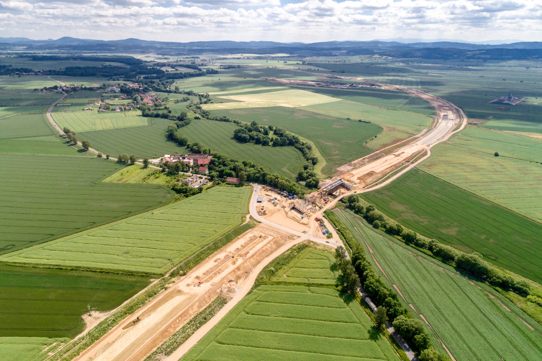
Miles of corridor, one consistent record.
From feasibility through construction, state DOTs run Ecobot across every crew, every district, and every regional supplement, so aquatic resource data lands in the same structured form no matter who collected it.
Supporting tribal sovereignty over natural resources.
Tribal nations use Ecobot for wetland and aquatic resource assessments on tribal lands.
- Coquille Indian Tribe
- Eastern Band of Cherokee Indians
- Iroquois
- Miccosukee Tribe of Indians of Florida
- Michipicoten First Nation (Ontario)
- Quinault Indian Nation
- Yakama Nation Fish and Wildlife
Counties, cities, and conservation districts.
Local environmental compliance, flood control, land use planning, and conservation.
- Brevard County
- Broward County
- Coffee County Codes Department
- Harris County Flood Control
- Lee County Secondary Roads
- Montgomery County Conservation District
- Orange County Waste & Recycling
- Oswego County Soil & Water Conservation
- Pike County Economic Development Authority
- Richland County Conservation
- City of Aurora
- City of Dayton
- City of Gaithersburg
- City of Jefferson
- City of Madison Engineering
- City of Powder Springs
- City of Taylor
- City of Waterloo
- City of Worcester
- Southampton Town, Environment Division
- Town of Cromwell
- Town of Eatonville
- Town of Spencer
- Gratiot Conservation District
- Gulf Coast Water Authority
- San Antonio River Authority
- South Florida Water Management District
- North Central Texas Council of Governments
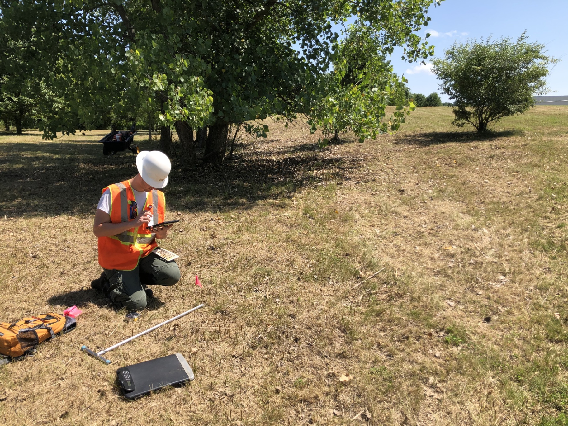
Every observation, structured at the point of capture.
Ecobot is used by 3,796+ trained users across the national environmental workforce, federal biologists, state DOT delineators, tribal natural resource staff, and county conservation districts, all working the same three-factor field test the manual requires, all producing the same clean, geospatial output.
This is not a proposal to build something.
It's a proposal to adopt what already works.
- In production on AWS since 2019
Patent pending; nationally deployed core platform.
- 3,796+ trained users
Tested at scale across the national environmental workforce.
- 335K+ forms completed
Real production data, not a pilot.
- 99% customer retention
The market has validated the product.
- GNSS submeter accuracy
Meets the July 2025 federal spec today.
Working prototype on AWS, eliminating a manual bottleneck.
Standardize your inputs. Transform what you can do with your data.
Right now, field assessment data enters government systems as static PDFs, inconsistent spreadsheets, and handwritten forms. That data is effectively dead on arrival, it can't be queried, compared, or fed into models.
When agencies standardize and normalize field data inputs through a platform like Ecobot, they don't just speed up permitting today. They build a structured, georeferenced national dataset that unlocks capabilities that are currently impossible:
- Predictive modeling for wetland extent
Track how boundaries shift over time using consistent, structured field observations at national scale.
- Informed natural resource decisions
Give land managers real data, not estimates derived from remote sensing alone.
- AI and machine learning readiness
Structured field data is training data, including the three-factor reasoning behind every delineation.
- Cross-agency data sharing
When every agency's field data follows the same structure, interagency analysis becomes possible without reformatting.
The field data being collected today is the foundation for the next generation of environmental decision-making. The question is whether it enters government systems in a form that makes that possible.
We'll walk your team through an agency-relevant demo tailored to your workflow.
Why government teams choose Ecobot.
- Workflow-Based, Not Generic
Built around the universal regulatory assessment process itself, that is why it works across agencies, jurisdictions, and user types.
- Production-Ready at National Scale
In continuous production on AWS since 2019. Containerized, secure, cloud-native.
- Structured Data from the Field
Every observation captured as structured, machine-readable data. Forms, GIS exports, and photo PDFs are generated outputs.
- Continuously Updated
Tracks evolving federal requirements, 2025 GNSS standards, updated ADS, APT v3.0, NWPL updates, new delineation report standards.
One platform. Field to deliverable.
- • Mobile capture mirroring the Wetland Determination Data Form
- • AI plant ID, GNSS/RTK integration, auto-fetched geographic metadata
- • Built-in Regional Supplement reference for soil and hydrology indicators
- • Works offline
- • Project management and QA review dashboard
- • GIS layers (NWI, NRCS Soils, USACE Districts, MLRA/LRR, Section/Township/Range)
- • Team management, bulk editing, Esri ArcGIS integration
- • Compliant PDF export, photo documentation, data export
Ready to modernize your agency's field data workflow?
Tell us a little about your team. We'll follow up within one business day.
AI assistants
Use Ecobot from Claude, ChatGPT, Copilot, and more.
Ecobot publishes a public MCP endpoint so your favorite AI assistant can look up USACE Regional Supplement content, OHWM indicators, and data-form guidance with page-anchored citations — tuned for government workflows.