
Defensible by default
USACE-aligned forms and exports across all nine regional supplements, kept current with the program.
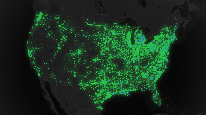
Ecobot is nature tech SaaS for the work of identifying, mapping, and permitting the country's wetlands, streams, and aquatic resources. The platform is refined continuously by the thousands of scientists and project managers at consultancies, agencies, and the industries they serve who use it every day, from solo practitioners to the largest AEC firms in the country.
Every release is shaped by the scientists and project managers at consultancies, agencies, and the industries they serve who use Ecobot every day in the field and in the office. The platform you see today is the cumulative work of thousands of practitioners.
Cut the friction out of environmental permitting so consultants spend their time on science, not on software wrangling. We do that by building one platform that powers two distinct products, Ecobot for Permitting today and Ecobot for Monitoring in private beta, defensible, standardized, and trusted by regulators. Every release is shaped by feedback from the practitioners actually doing the work.
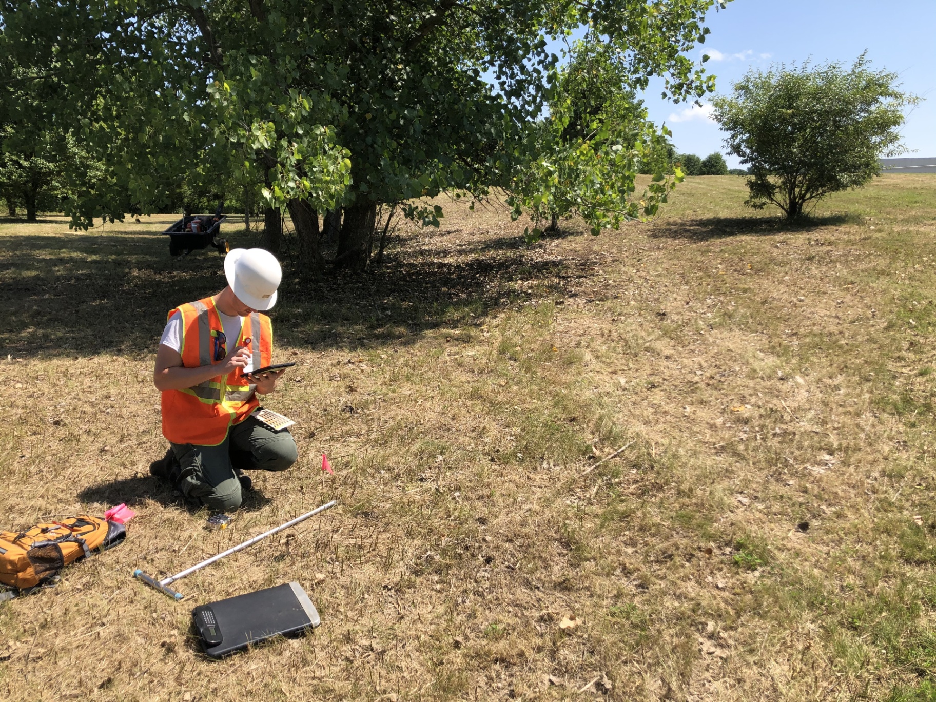
USACE-aligned forms and exports across all nine regional supplements, kept current with the program.
If it doesn't work offline, on a phone, in waders, we haven't shipped it.
Ecobot for Permitting and Ecobot for Monitoring share Collector and Manager, no second platform to administer.
No single consultant's workflow drives the roadmap. The full range of practitioners, small shops to AEC giants, does.
SOC 2 controls, FedRAMP-aligned hosting, and an Esri Partner GIS stack.
Free tier for small teams, self-service paid plans, transparent enterprise pricing.