
Determine permanence
Use OHWM, NC DWQ Stream Identification, and Ecobot Universal Stream Assessment to determine stream permanence and establish ordinary high water mark.
Determine permanence, establish OHWM, and produce the deliverables you need, on the same connected workflow that powers wetlands work.
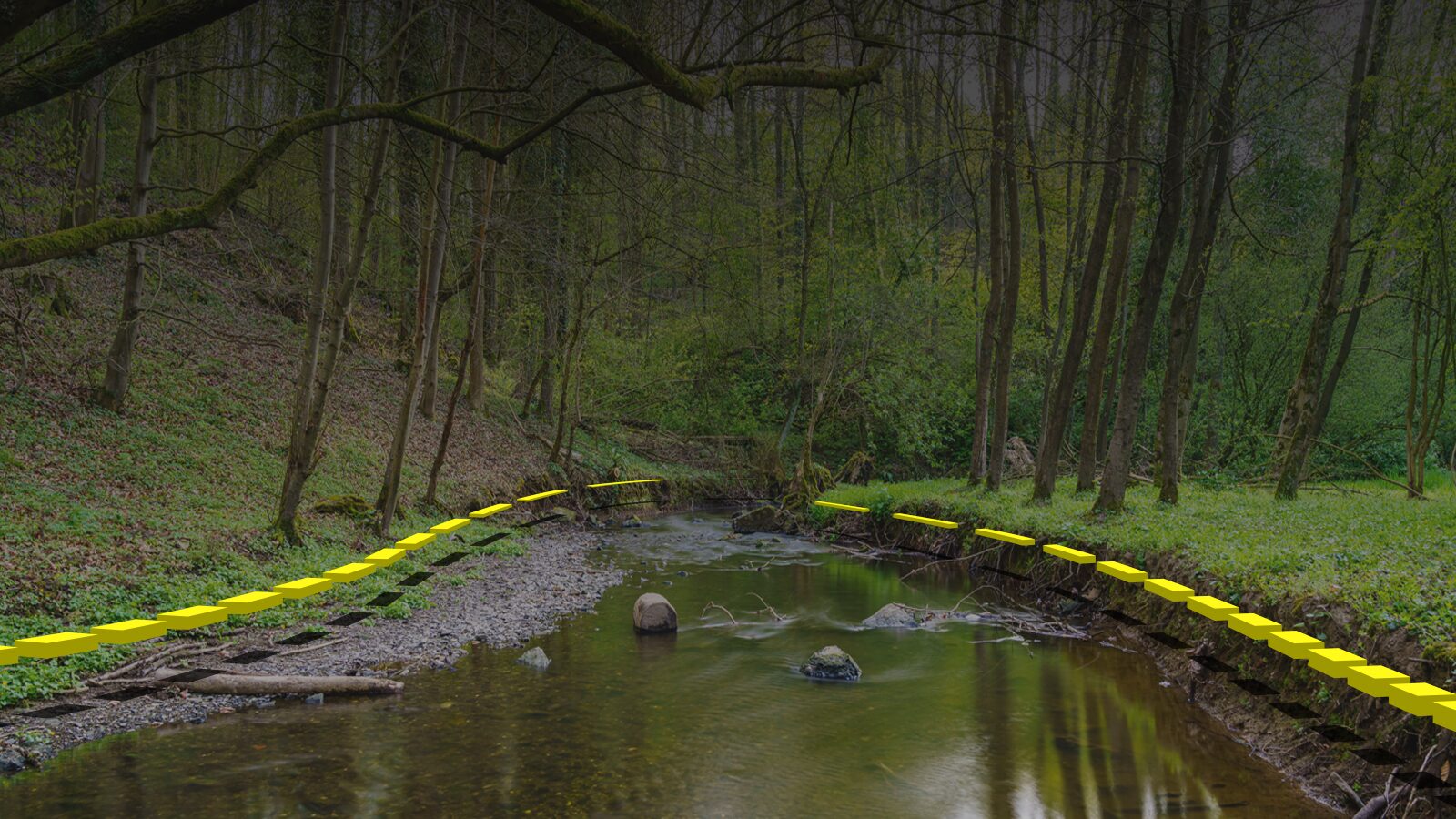
The ordinary high water mark is rarely ordinary, and never written down.
Until it is, on a form, at a point, with a photo and a coordinate.
Use OHWM, NC DWQ Stream Identification, and Ecobot Universal Stream Assessment to determine stream permanence and establish ordinary high water mark.
Streams runs on the same Collector + Manager workflow as wetlands. One mental model across modules; same QA, photos, exports.
Point-associated photos with direction, time, date, and coordinates, ready for the report when fieldwork ends.
Capture stream data and reference materials in the field without cell service. Sync when you're back online.
Geodatabase, shapefile, and GeoJSON drop straight into ArcGIS.
Included with the Free and Enterprise plans. Add-on for Essential ($8/seat) and Professional ($50/seat).
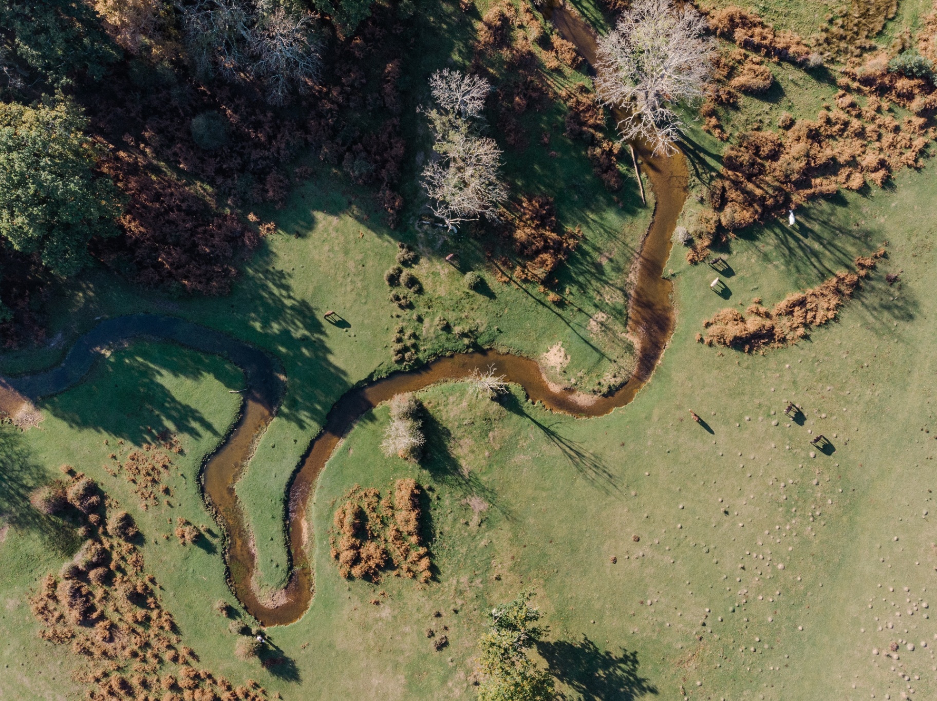
Low-gradient, tightly meandering, grazed to the bank , and somebody has to call it.
Ecobot supports the standard stream assessment forms used across the USACE program, plus general field observation for everything else.