





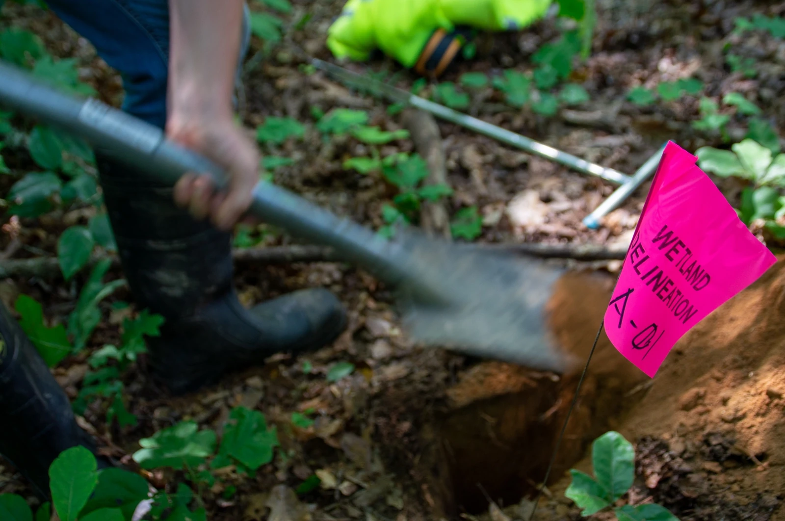
Field delineation
Ecobot Collector, offline-first iOS and Android app for vegetation, soils, hydrology, photos, and GNSS-grade location. AI-assisted plant ID and hydric soil suggestions.
Ecobot standardizes field data, photos, calculations, QA, and reporting, strengthening the science your clients rely on. One connected workflow from boot-deep to USACE-ready deliverable.
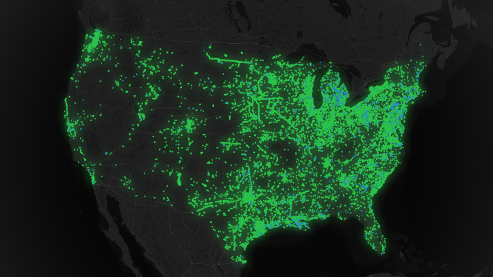
Trusted by over 3,796 scientists and project managers at consultancies, agencies, and the industries they serve across the US
Work in spreadsheets, manual entry, and apps that just don't quite cut it, Ecobot connects the mud on your boots to the report on your desk in one seamless, validated workflow.
Normalize data at input. Collector catches errors before you leave the site; easy-to-use QA tools in Manager ensures client-ready quality.
Site imagery is automatically pinned to coordinates and attached to the correct sample point in the cloud; integrated mapping.
Generate complex client- and regulator-ready outputs in one click. Zero formatting, zero transcription errors. Esri-compatible data.
Every release is shaped by the scientists and project managers at consultancies, agencies, and the industries they serve who use Ecobot every day in the field and in the office. The platform you see today is the cumulative work of thousands of practitioners.
Move beyond paper datasheets and siloed spreadsheets. Ecobot bridges field biologists and office QA with one structured workflow, defensible from the first data point to the final USACE deliverable.
Ecobot Collector, offline-first iOS and Android app for vegetation, soils, hydrology, photos, and GNSS-grade location. AI-assisted plant ID and hydric soil suggestions.
Regionalized 2024 Wetland Determination Data Forms, OHWM datasheets, stream assessment forms, and an Aquatic Resource Delineation Report aligned to the USACE RRS Minimum Standards (July 2025), generated from your field data, not retyped.
Ecobot Manager, web workspace for survey review, map-linked photo browsing, role-based permissions, and audit-ready records across offices and practice groups.
“Ecobot is the first tool I have used that was clearly built by people who have actually done this work and know how to build great software.”
Biologists capture wetland and stream determinations offline. The same record arrives in the office already organized, photos geotagged, forms structured, ready for QA. No re-entry. No “which laptop has the latest copy?”
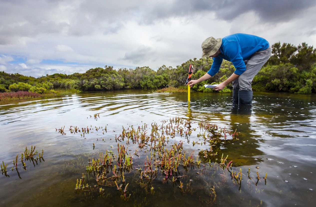
“We delivered a 1,400-acre delineation in a third of the time, with cleaner data than we’ve ever produced on paper.”
Public, verified reviews from environmental consultants, biologists, and firm principals across the Apple App Store, Google Play, Capterra, and G2.
Exactly what we've been looking for for several years. The app is well thought out, intuitive, accurate, fast, and efficient. Ecobot has streamlined our field data collection as well as our office post-processing time, we pass those savings on to our clients while delivering a higher-quality product.
I have been using Ecobot for several years for data point collection during wetland delineations. This program makes data collection much quicker for post-processing. Exceptional customer service if you ever have questions or need help.
This application has transformed our workflow, making fieldwork efficient and saving valuable time in the office. The intuitive design streamlines processes, and the Ecobot team is exceptional, friendly, knowledgeable, and always willing to help. Highly recommended.
From the initial contact with the Ecobot team it has been nothing but a great experience. The platform is intuitive and very user-friendly. Inputting data is quick and easy. The staff at Ecobot is obviously invested in every aspect of the app.
Once we set up the project in the app, I saw how much more efficient we were in the field without having to organize physical paper copies. We completed more delineations with fewer errors, and saw a reduction in office time and QC because we no longer transcribe forms.
Ecobot is easy to use and there is little to no set-up involved. It's easy to deploy to field crews no matter where they are. You have everything at your fingers that you would need to complete your USACE forms and submit.
These are just the highlights. See every verified review across all four platforms.
Read all reviewsEcobot Collector runs on iPhone, iPad, and Android. Capture wetland and stream data offline, with AI-assisted vegetation and soils, GNSS-grade location, and photo management that's already organized when you get back to the office.
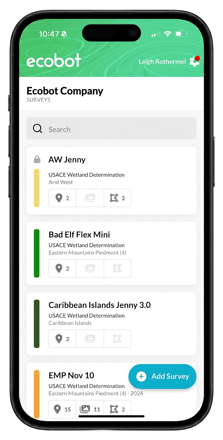
Ecobot Collector and Ecobot Manager power both lines. Permitting is commercially available today; Monitoring is in private beta.
Complete wetland and stream assessments faster and more consistently, AI-assisted vegetation and soil suggestions, GNSS-grade location, structured photo management, and report-ready exports for USACE submittal.
Explore Permitting →A separate product for post-permit monitoring, built on the same Collector + Manager platform. Wetlands monitoring is in private beta; an aquatic resources module is in progress. Join the waitlist to talk with the team.
Join the waitlist →Start free in minutes, or talk with our team about your aquatic resources and environmental permitting work.