USACE RRS-Aligned Permitting

Built for the work USACE actually reviews.

Wetland and stream assessments for Section 404 permitting, captured with survey-grade location, structured to the USACE Recommended Minimum Standards for Aquatic Resource Delineation Reports, and exported in the geospatial formats your GIS and your report depend on.

The regulatory moment

The ground under Section 404 is moving.

After Sackett v. EPA and the 2025 proposed rule, federal jurisdiction turns more than ever on conditions that can only be documented in the field, and on records that hold up to scrutiny. The deliverable that survives review is structured, located, time-stamped, and photo-backed, captured the day the work is done, not transcribed from paper weeks later. Ecobot is built to produce exactly that record.

What matters under Section 404

Delineation, connectivity, wetness, the three questions every reviewer is asking.

The rule is shifting, but the questions a USACE district has to answer have not. Is the aquatic resource accurately delineated? Is there a documented surface-water connection to a traditional navigable water? And under what antecedent and seasonal conditions was the wetland hydrology observed? Approved JDs, Preliminary JDs, and Nationwide Permit verifications all turn on those three. Ecobot has a product for each, and they share one record.

Delineation, Ecobot Collector

USACE 2024 wetland determination forms for all nine regional supplements, with regional indicator status applied automatically. AI-assisted plant ID, on-device hydric soil suggestions, and automated dominance and prevalence calculations keep the delineation defensible at the point of observation.

Inside Collector

Connectivity, OHWM, stream ID, GNSS-located evidence

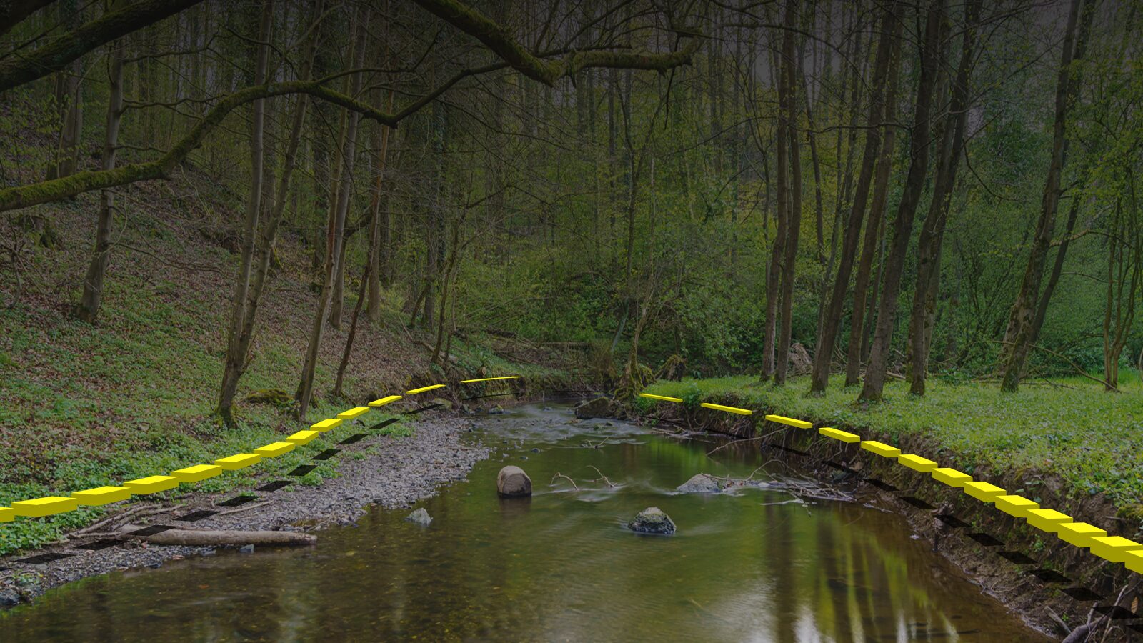
USACE Ordinary High Water Mark assessments, NC DWQ Stream Identification, and the Ecobot Universal Stream Assessment, every point GNSS-stamped at the source, every photo bearing-tagged and tied to its feature. The record reviewers need to evaluate a surface-water connection to a traditional navigable water.

Streams module

Wetness, APT and hydrology, on the record

Ecobot Manager runs the USACE Antecedent Precipitation Tool against your project's points and dates and keeps both the standard USACE output and the underlying data alongside the wetland hydrology indicators captured in the field, so whether conditions were normal, wetter, or drier than normal is documented on the record.

How APT works in Manager
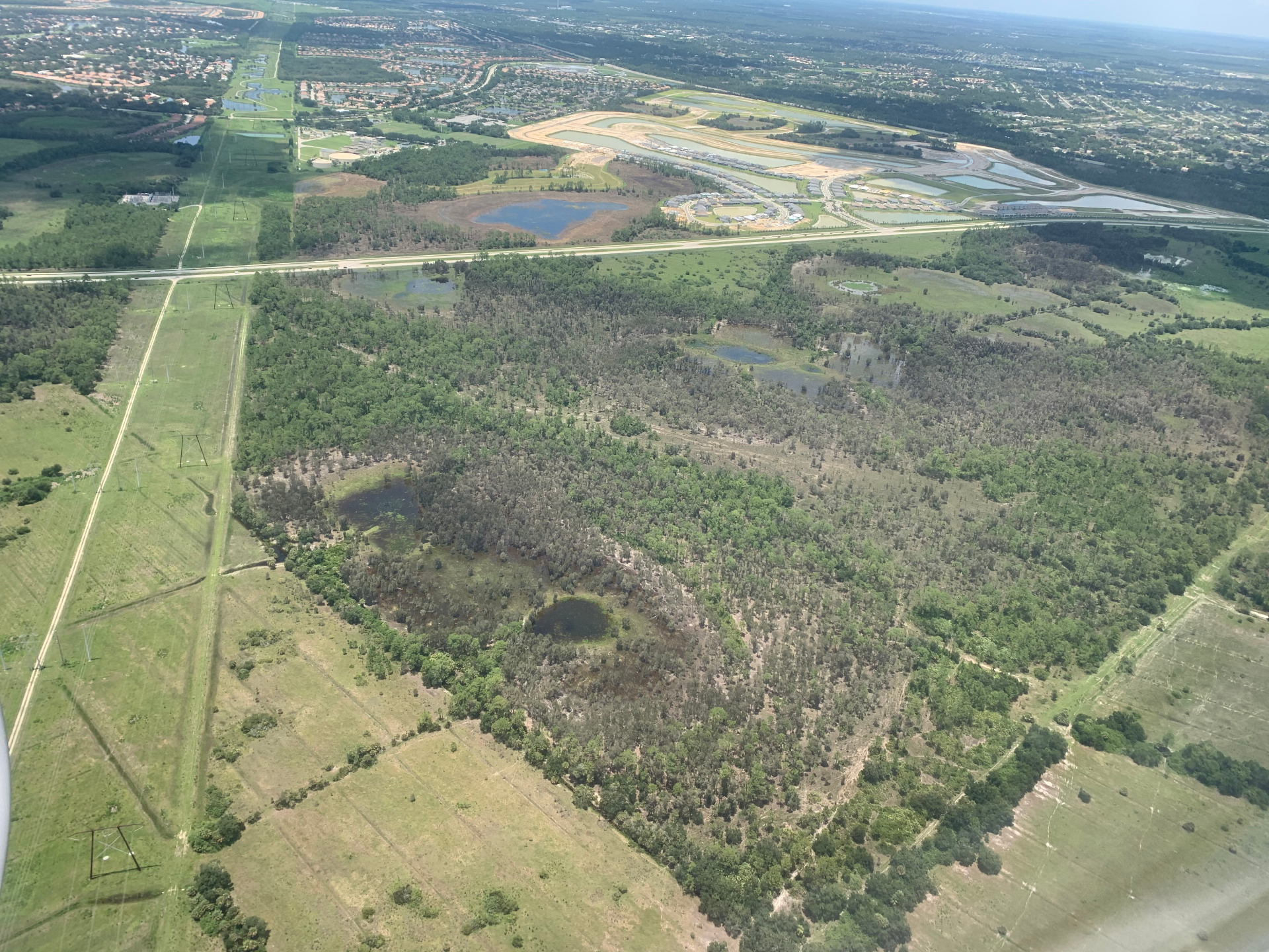
Aerial view of a Florida forested wetland complex bordered by highway, transmission corridor, and suburban development.
Where Section 404 lives

The line between jurisdictional water and the next subdivision is somebody's deliverable next Friday.

Florida wetland complex, suburban edge, transmission corridor. This is the context every RRS submittal lands in.

Regulatory Request SystemRRS-aligned exports

The field record your RRS submittal is built from.

The USACE Regulatory Request System is now the primary intake for JD requests and aquatic resource delineation reports. Ecobot is where your team collects and structures that field data and generates an Aquatic Resource Delineation Report aligned to the USACE Recommended Minimum Standards (July 2025). You walk into the submittal with a complete, organized record.

ARD-aligned

Aligned to USACE Minimum Standards for ARDs

Aligned to the USACE ARD Minimum Standards, datasheets, figures, photo logs, and aquatic resource tables, generated from your field data and structured the way the Minimum Standards describe.

Antecedent conditions, on the record

Ecobot runs the USACE Antecedent Precipitation Tool for your survey and keeps both the report output and the underlying data, so every record shows whether conditions were normal, wetter, or drier than normal when the data was collected. As jurisdiction increasingly turns on seasonal and antecedent conditions, that context matters more than ever.

How APT works in Ecobot

Survey-grade location, in the field

Native GNSS receiver integration captures coordinates at the point of observation, not estimated from a basemap weeks later, which is what RRS reviewers, third-party verifiers, and your own QA team actually need.

Sampling-point packets for JD review

Each sampling point assembles its datasheet, indicator results, soil profile, hydrology indicators, vegetation cover totals, and bearing-tagged photos into a packet that reads cleanly in a PJD or AJD review and within your RRS submittal package.

Aerial view at dusk of a wooded riparian corridor with a small stream cutting through pasture and farmland
The map and the truth

Every polygon on the basemap was somebody’s afternoon in waders.

GIS · Esri partner

Field data that lands inside ArcGIS, already structured.

GIS teams shouldn’t spend a week per project rebuilding attribute tables out of PDF datasheets. Ecobot is an Esri Partner and outputs geodatabase, shapefile, and GeoJSON directly, with the projections, geometry types, and attribute schema that drop straight into your enterprise stack.

Ecobot Manager → ArcGIS, in one step

As an Esri Partner, Ecobot exports file geodatabase, shapefile, and GeoJSON that drop directly into ArcGIS Pro and ArcGIS Online, no intermediate cleanup script, no attribute remapping.

Round-trip with your enterprise stack

Push field data into your existing project geodatabase, your enterprise portal, or your client's deliverable schema. Datums and projections are preserved end-to-end.

Photo logs that stay tied to the geometry

Geotagged photos remain associated with their sampling point, transect, or wetland polygon, so the map-linked photo log inside your report matches the GIS feature the reviewer is looking at.

Reference data pulled at the point

Six location-derived fields are populated automatically, including National Wetlands Inventory classification and SSURGO Soil Map Unit Name, so soil and NWI context is on the datasheet before you leave the point.

End-to-end workflow

One connected pipeline from scoping to submittal.

01

Scope the project in Manager

Configure the project, regional supplement, sampling plan, and crew permissions before anyone leaves the office. Reference layers, AOIs, and basemaps push to every device.

02

Collect the field record

On iOS or Android, online or off, capture vegetation, soils, hydrology, photos, and GNSS location. AI-assisted plant ID and hydric soil suggestions move the work faster without removing the scientist from the call.

03

QA inside Manager

Review datasheets, edit photo logs inline, merge surveys, and resolve flagged points in a centralized review tool, not by emailing PDFs back and forth.

04

Export for ArcGIS and the report

Regulator-ready PDFs, the ARD report aligned to the Minimum Standards, ArcGIS-ready shapefile and geodatabase, customizable photo PDFs, and CSV. Every export reflects the same source of truth.

See Ecobot in your workflow.

A working call with our team, most of whom came out of environmental consulting, not a generic product pitch.