
AI-assisted vegetation ID
Identify species in the field with confidence scores. Regionally-specific indicator status applied automatically.
Capture vegetation, soils, hydrology, photos, and GNSS-grade location with AI-assisted suggestions, and produce defensible USACE 404 deliverables straight from the data.
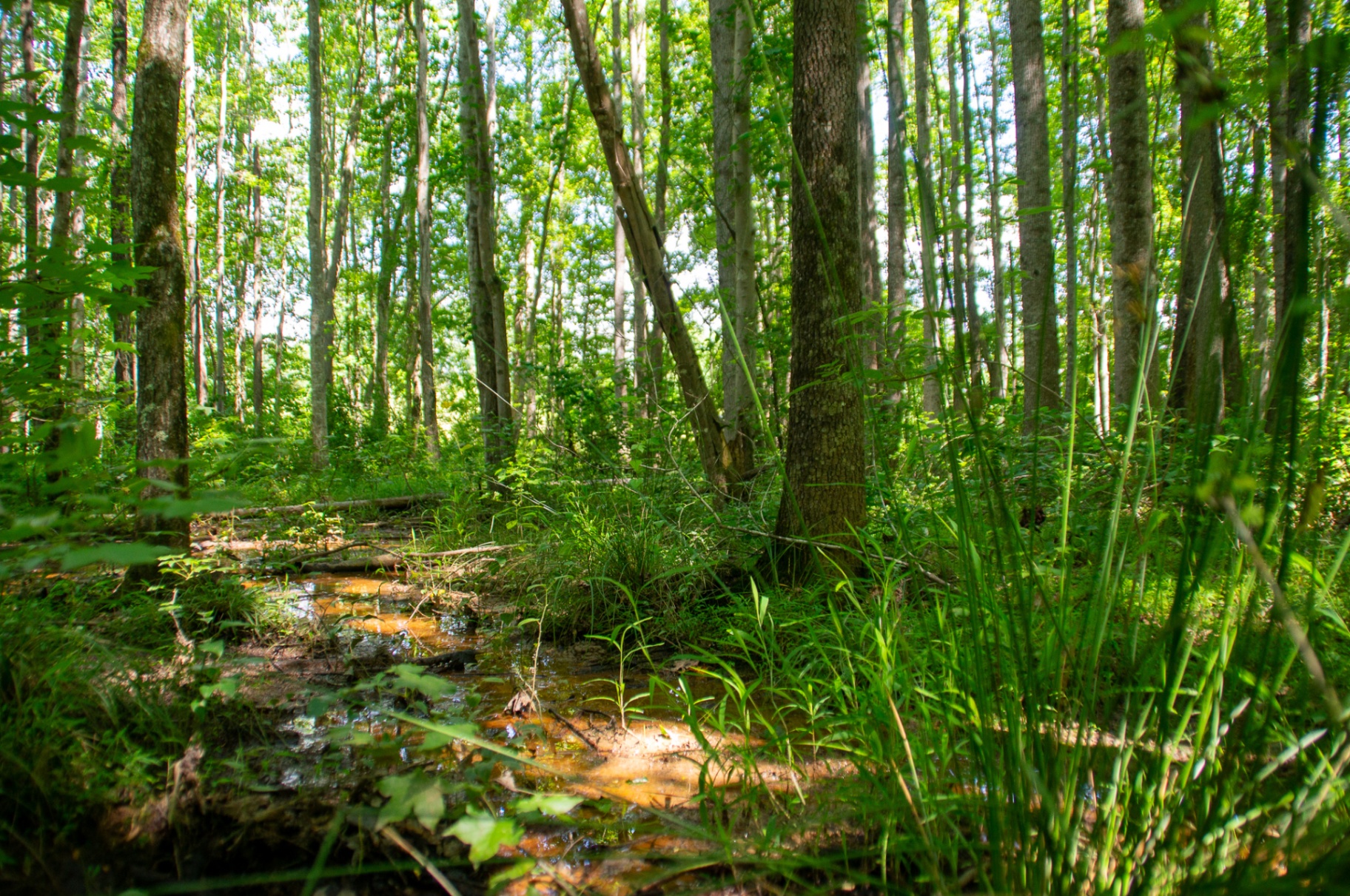
Iron-stained water. Saturated soils. Three indicators before you reach the truck.
Identify species in the field with confidence scores. Regionally-specific indicator status applied automatically.
Make informed Hydric Soil Indicator decisions with built-in soil suggestions and a matrix color swatch.
Run the USACE Antecedent Precipitation Tool automatically from your project's points and dates. Standard PDF, plus raw JSON for downstream workflows.
On-the-fly dominance calculations and re-sorting by descending percent cover, with clear visual feedback.
Automate six location fields including NWI and Soil Map Unit Name based on your point coordinates.
Point-associated photos with direction, time, date, and coordinates, ready for the report from the moment they're taken.
USACE 404 Wetland Delineation, 2024 Forms across all nine regions plus General Field Observation.
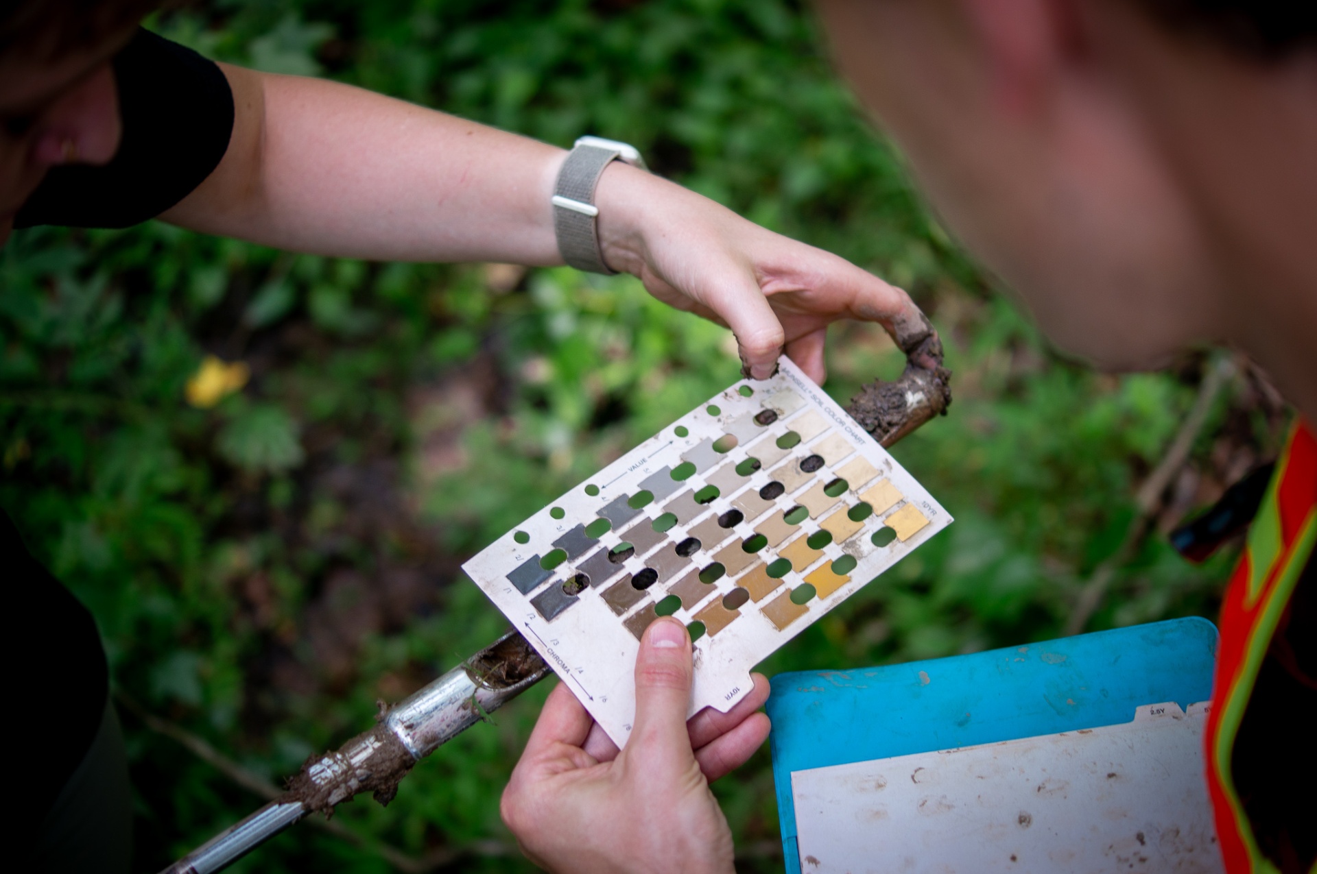
Ecobot suggests the matching hydric soil indicator while you read the chip, so the call is made at the pit, not in the parking lot. Dominance test, prevalence index, regional indicator status: tallied as you tap.
Ecobot supports the full set of USACE Wetland Delineation regional supplements so distributed teams can produce consistent, region-correct deliverables, wherever a project lands.
Manager runs the USACE Antecedent Precipitation Tool against your project's points and dates, or a centroid on a date you set. Same official USACE code from GitHub. You get the standard APT PDF for your JD or 404 package, plus the raw JSON if you have downstream workflows.