01 · Field
Ecobot Collector
iOS & Android
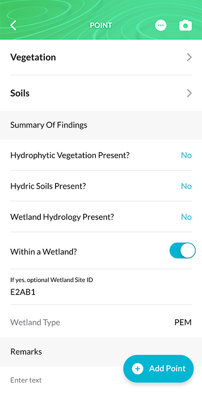
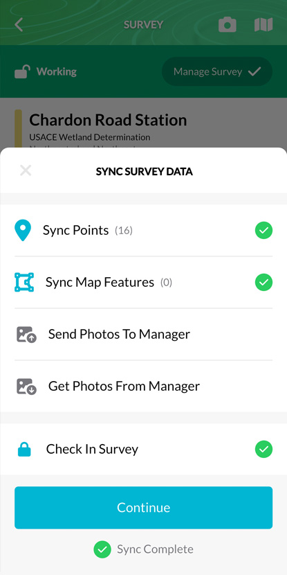
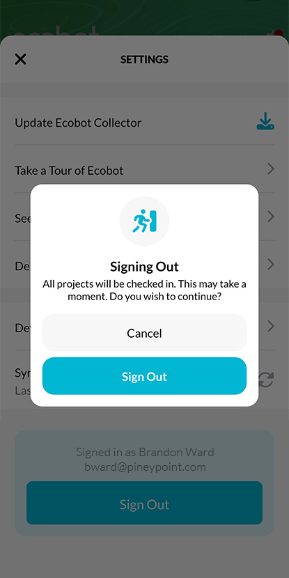
Field scientists capture wetland and stream data with offline forms, GNSS, AI vegetation lookup, and georeferenced photos.
- Offline forms
- GNSS
- AI veg lookup
- Photos
Field capture, office QA, and regulator-ready output, Ecobot Collector on iOS and Android, Ecobot Manager on the web, and the deliverables that come out the other side. Together they form the foundation under every Ecobot product.
Ecobot is a platform, not just an app. Field capture, office QA, and final outputs are built as one connected system, so data moves forward without re-keying, re-formatting, or guessing what version is current.
iOS & Android
Field scientists capture wetland and stream data with offline forms, GNSS, AI vegetation lookup, and georeferenced photos.
Web platform
PMs and QA leads review surveys, manage photos, run APT, and assemble deliverables with role-based access and audit history.
Client + regulator ready
Customizable PDF reports, photo PDFs, and Esri-ready geodatabase, shapefile, and GeoJSON exports, straight into ArcGIS.
Keep scrolling for what's inside each piece, Collector, Manager, and the deliverables that come out the other side.
Real screenshots, grouped by the workflows they belong to, Manager on the web, Collector on iOS and Android.
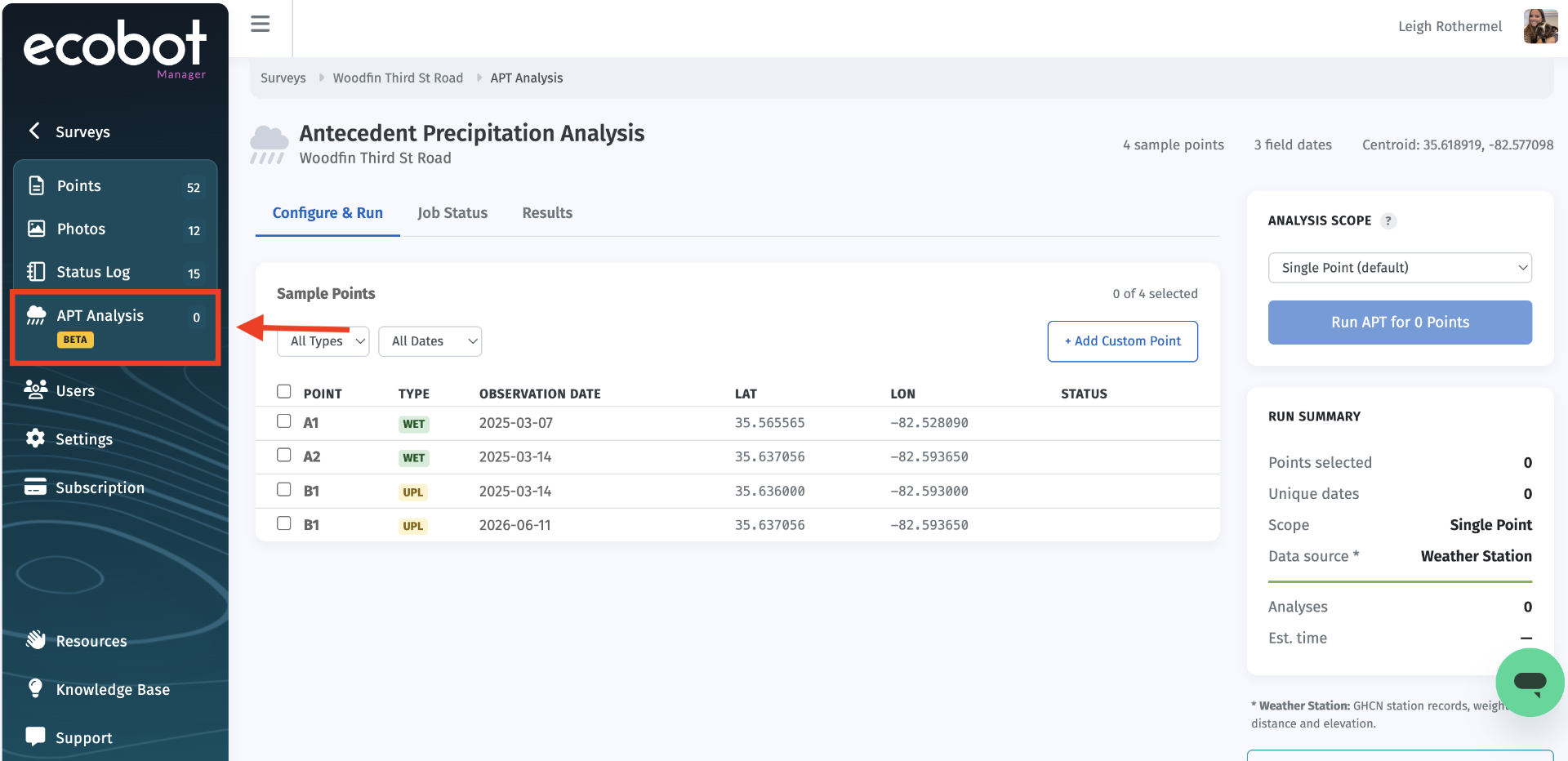
APT is required to defend hydrology calls, but running it by hand means pulling NOAA station data, building 30-day rolling windows, and assembling a PDF per point. Ecobot does it for you and drops the report straight into the deliverable.
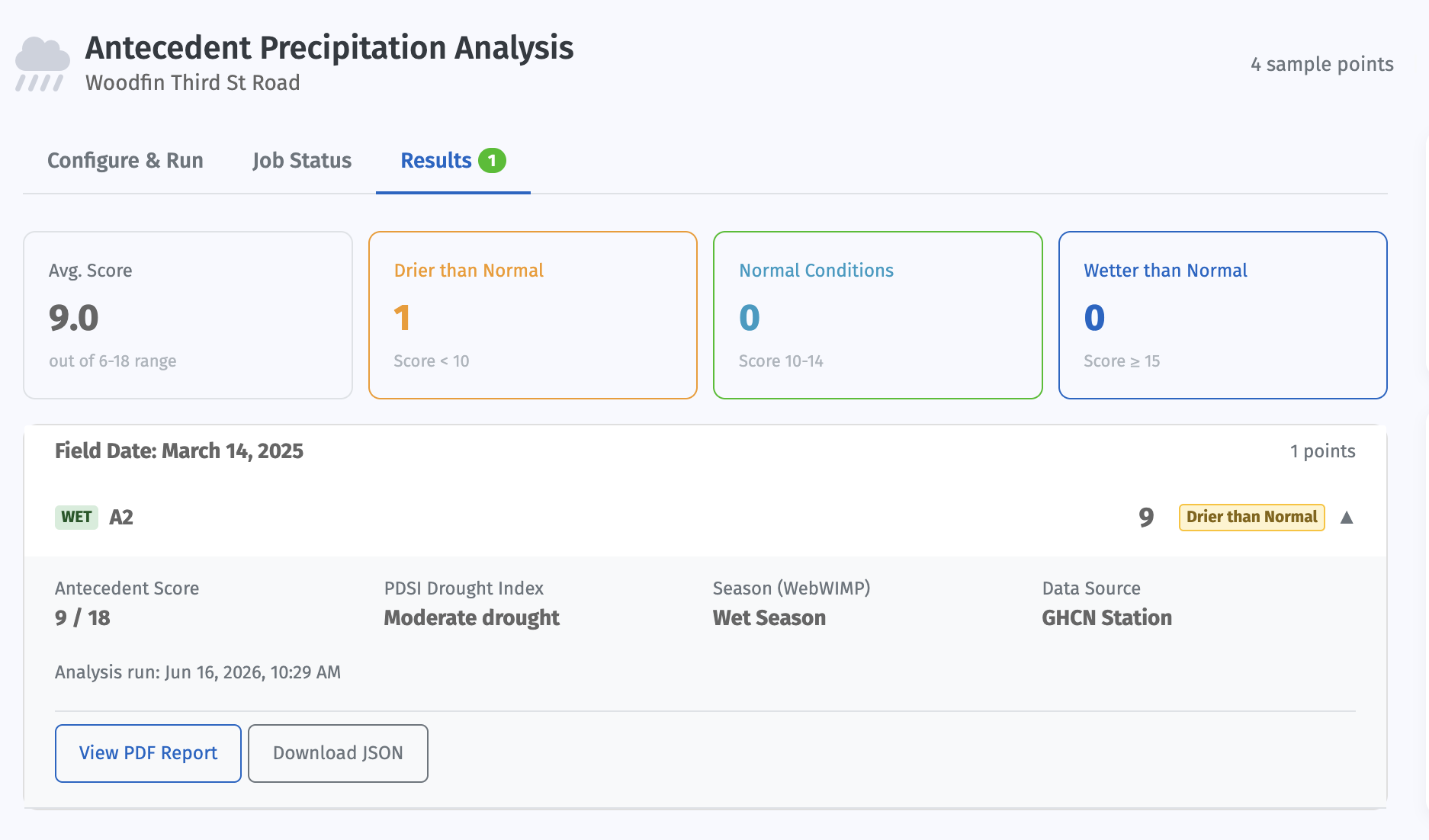
Why it matters: Regulators expect an APT analysis behind every hydrology determination. Ecobot runs the full analysis in about two minutes, whether it's one point or fifty, orders of magnitude faster than the manual NOAA workflow, and produces a defensible, repeatable record tied to the date you were in the field.
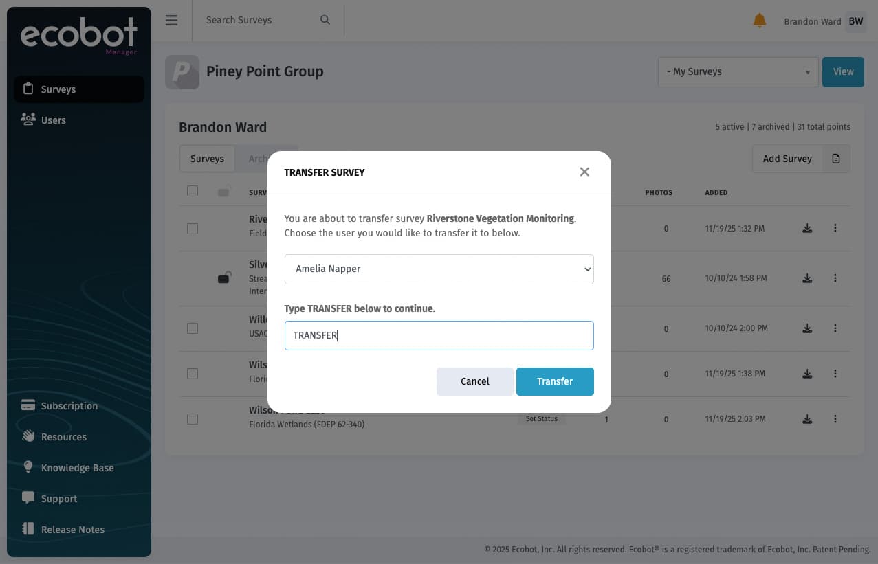
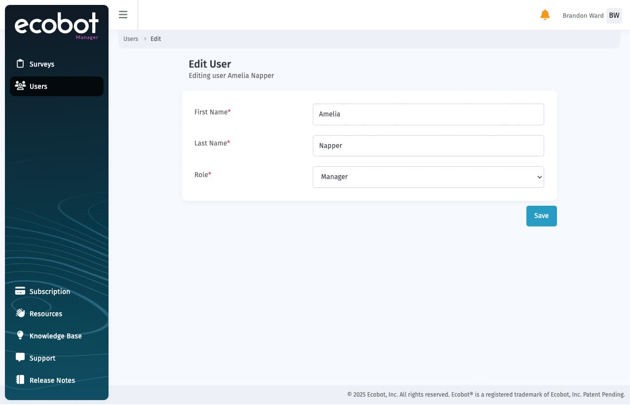
Modern controls for the work managers actually do, combining, handing off, unsticking, and gating access.
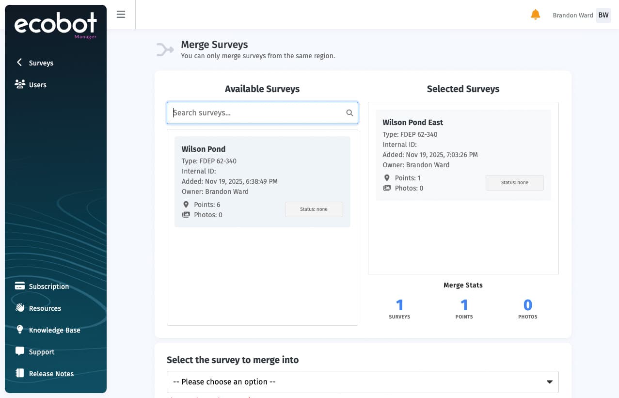
Survey Merge: Combine multiple surveys into one to simplify management.
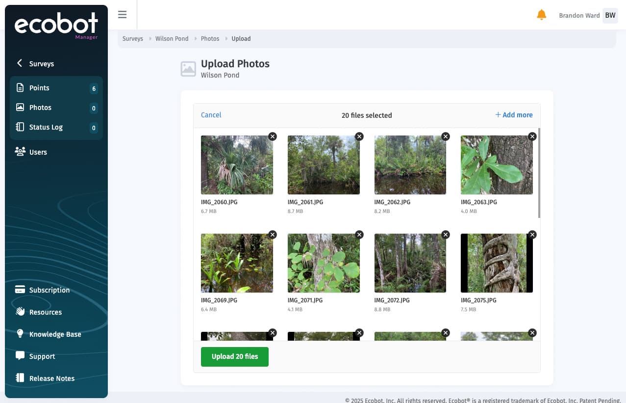
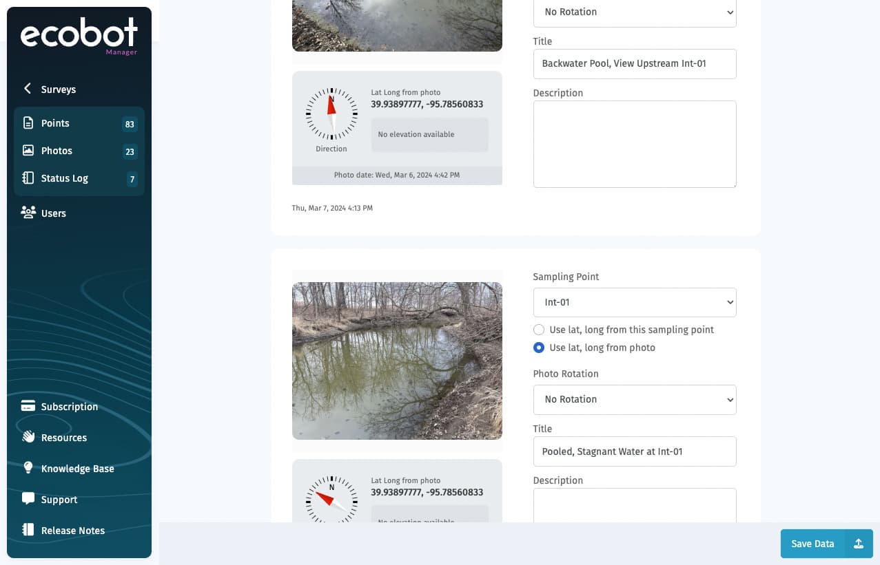
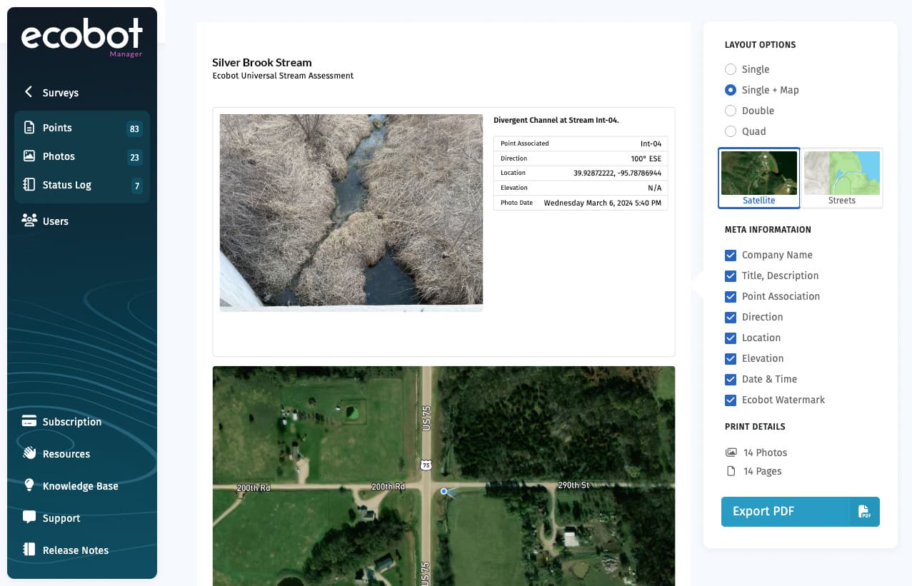
Faster fixes for the photos that end up in deliverables, directly inside Manager.
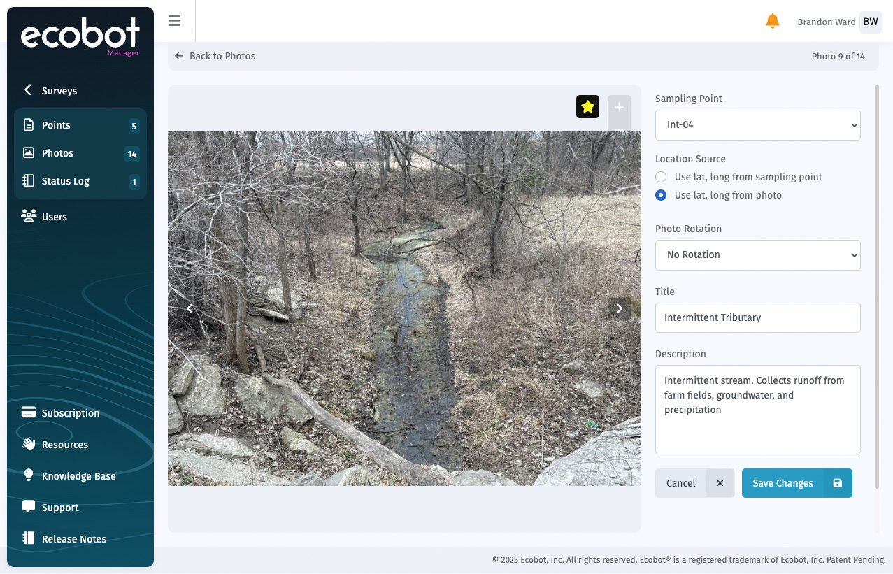
Individual photo editing: Edit photos in place with inline tools, no exports.
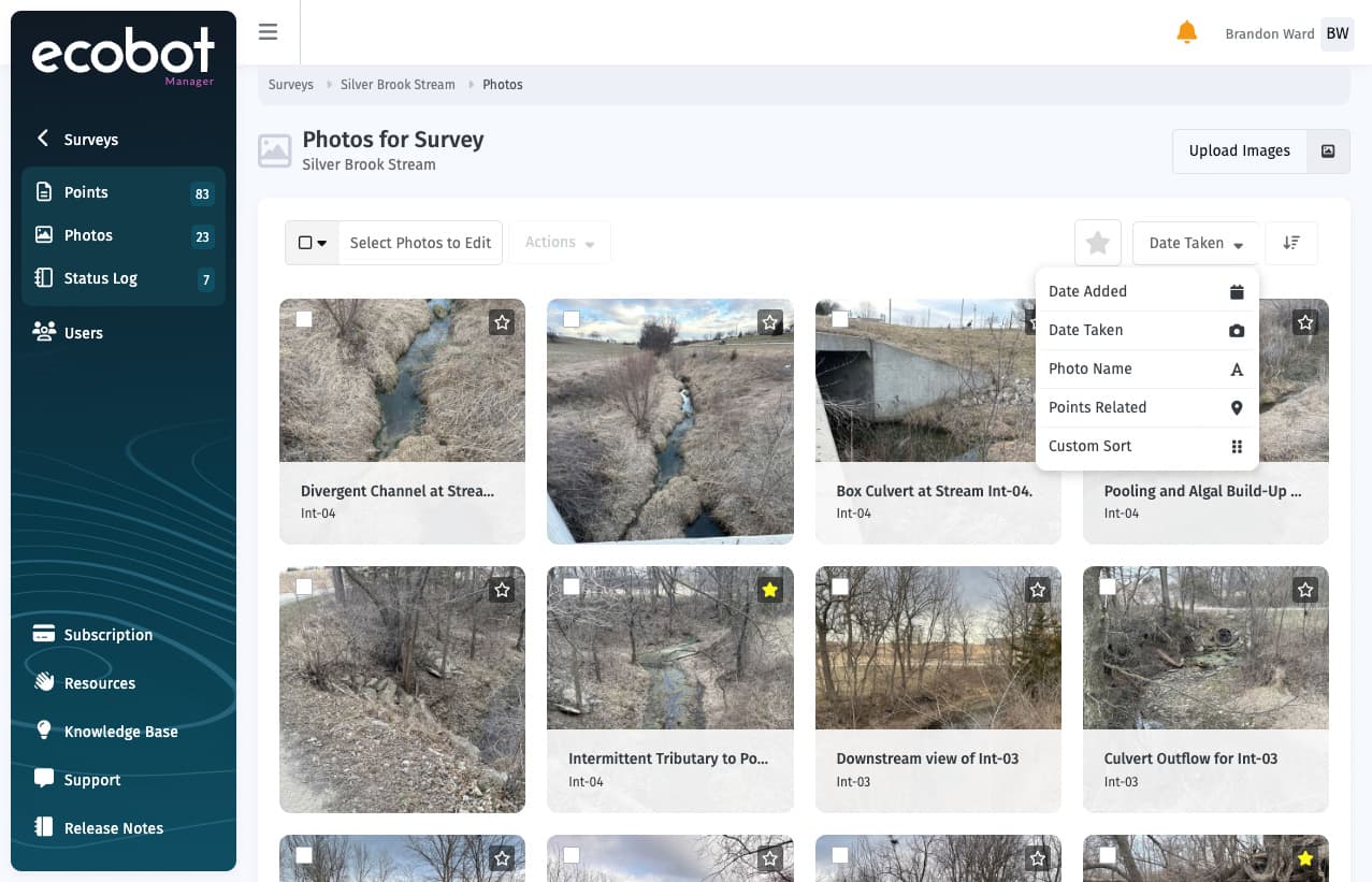
Smarter browsing, map-linked context, and inline log work, without leaving Manager.
Photo + map integration: See exact photo location on a map, then step through directional photos.
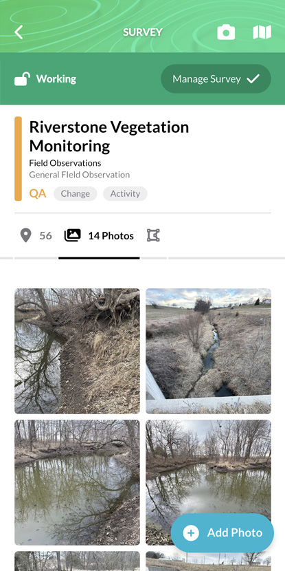
A focused survey view, direct jumps into work, and color-coded progress at a glance.
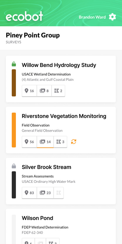
Focused survey view: Manage settings in one simple, distraction-free screen.
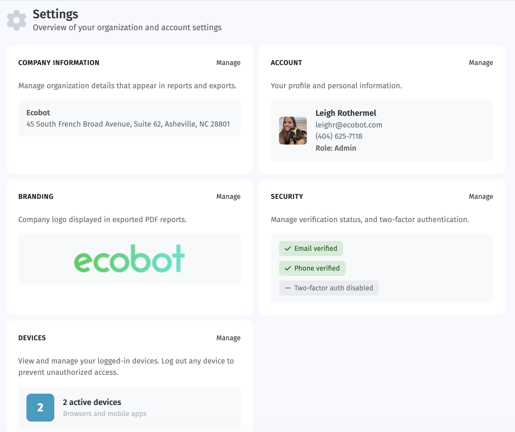
Small details that keep teams in sync and prevent data from getting stranded.
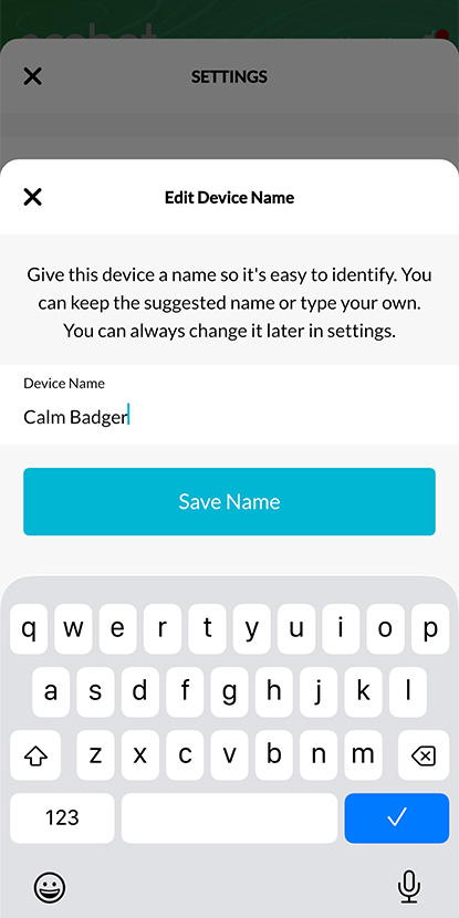
Device naming: See which device a project is checked out to, at a glance.
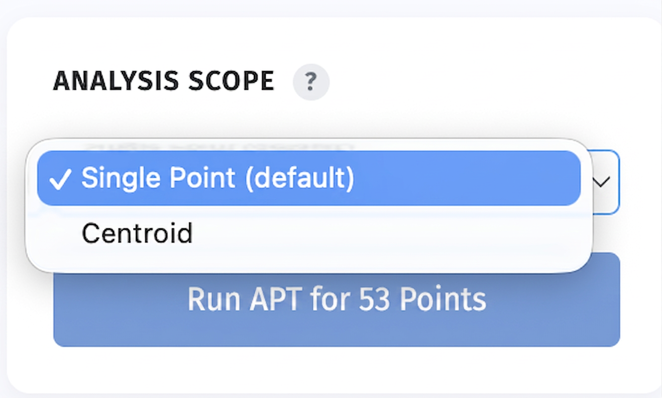
Ecobot Manager runs the USACE Antecedent Precipitation Tool against your project's points and dates, or a centroid on a date you set, and returns the standard USACE PDF plus raw JSON. Powered by the official USACE APT code, so the output matches what reviewers expect.
Automate APT PDFs free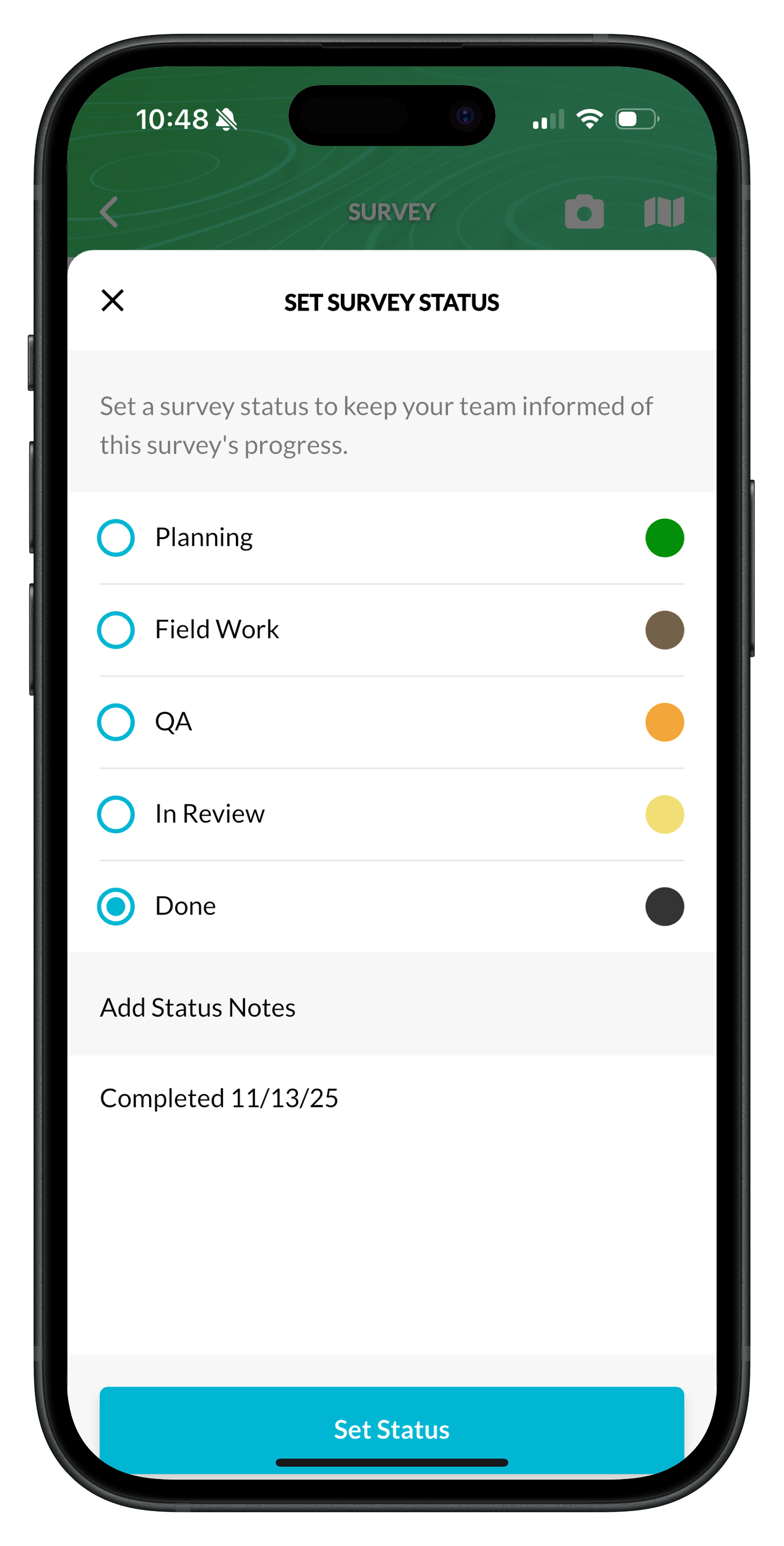
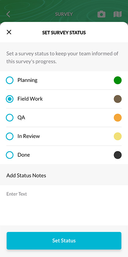
Set Planning → Field → QA → Done from Collector. PMs see the same status in Manager, no double entry.
Read the how-to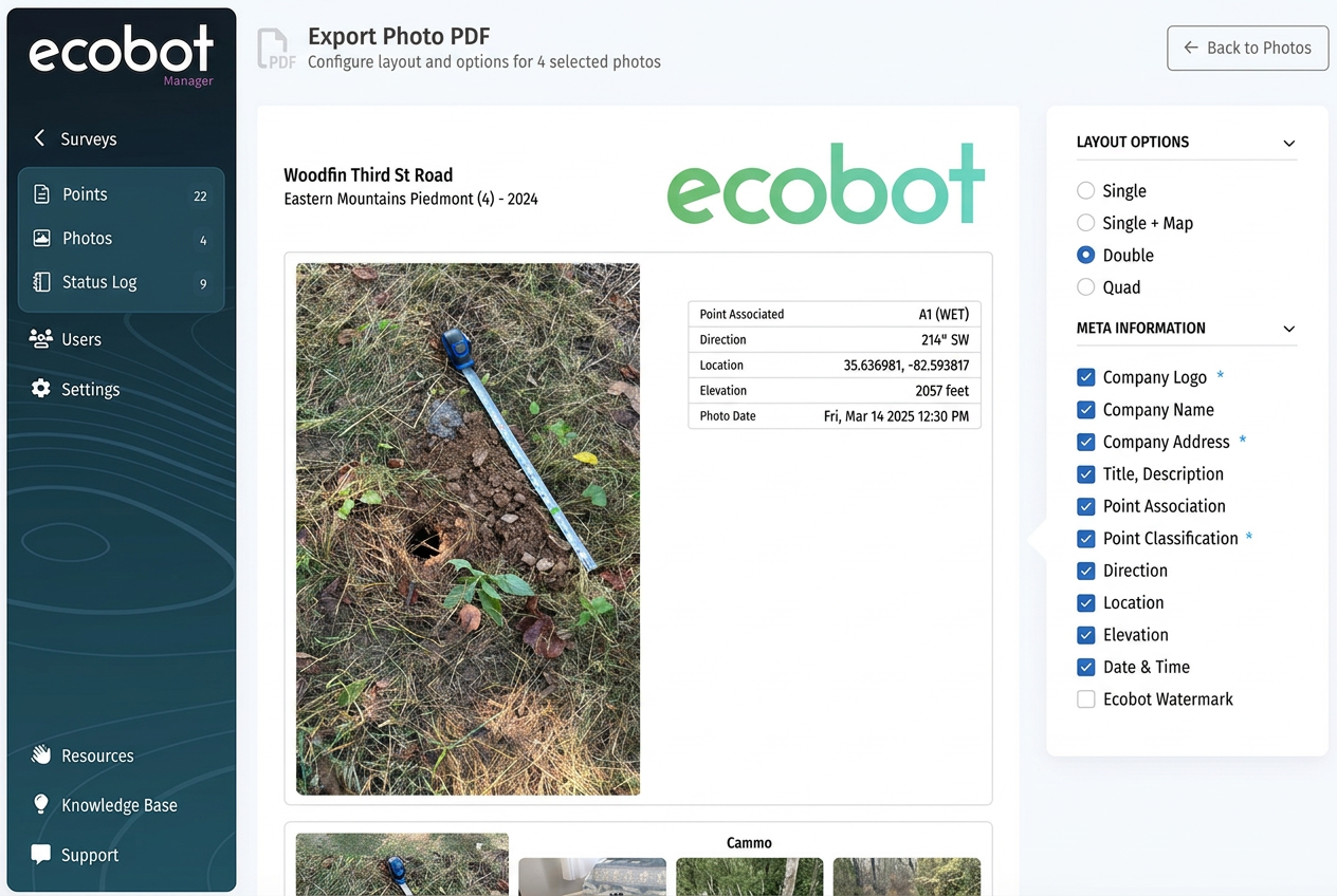
Customize layout, metadata, watermark, and company branding. Saved as your default for next time.
Read the how-to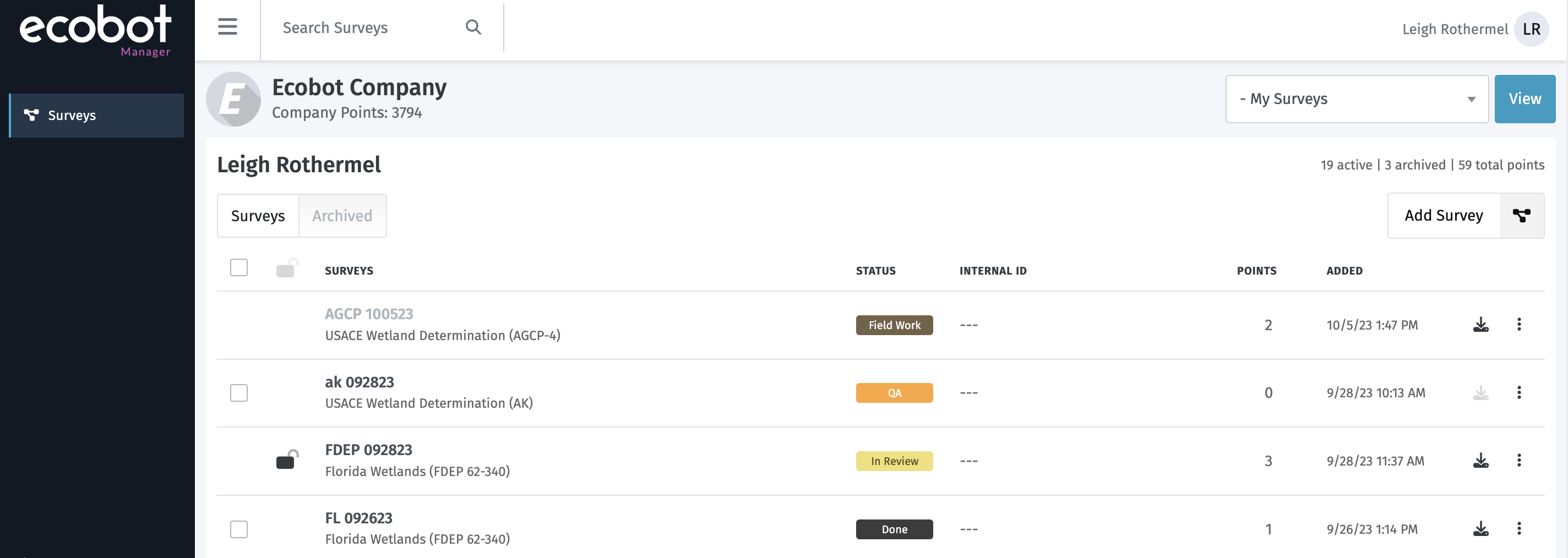
Geodatabase, shapefile, GeoJSON. As an Esri Partner, files drop straight into your GIS workflow.
Read the how-toWhen to ship which file format to the client GIS team, with the gotchas we've learned across 10,000+ projects.
The small process changes that compound, checklists, templates, and integrations that save half a day a week.
Geolocated photos win permits. A practical photo SOP your whole field crew can follow on day one.