
Private beta
Wetlands monitoring
Repeatable monitoring forms with the same Collector + Manager workflow your delineation teams use.
Mitigation banks, in-lieu fee programs, and permittee-responsible mitigation teams use Ecobot to manage the long monitoring tail of credit-bearing sites, with the same field-to-office connection that powers delineation work.
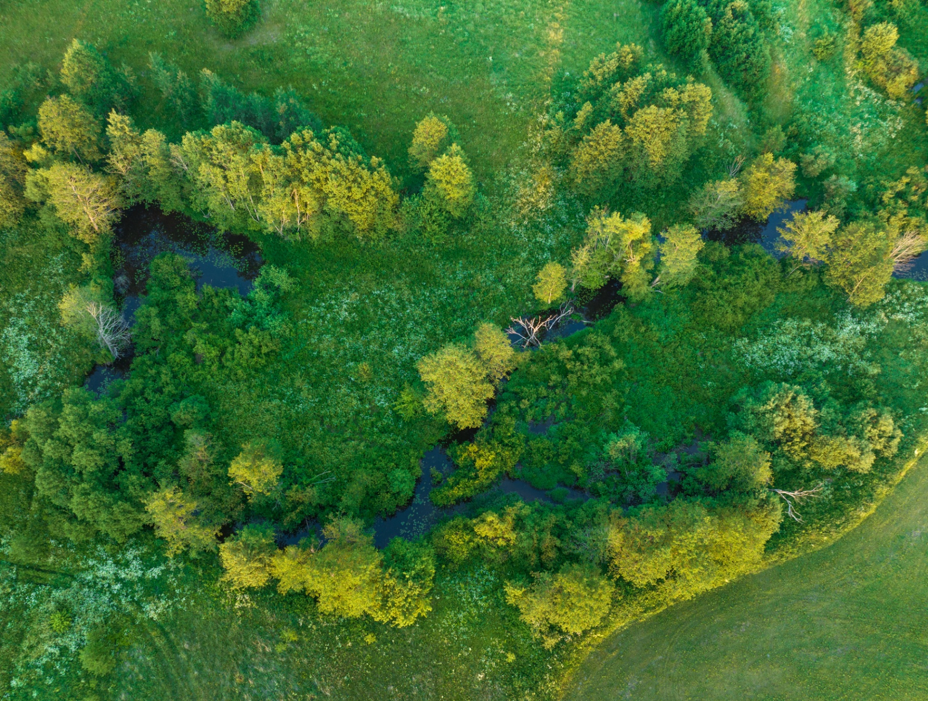
Mitigation isn't a one-shot deliverable. It's years of repeatable, defensible monitoring against a credit schedule, and Ecobot is built for that cadence.
Repeatable monitoring forms with the same Collector + Manager workflow your delineation teams use.
Stream and aquatic resource monitoring tailored to credit-bearing site requirements.
Years of monitoring visits, photos, and forms organized per site, not per email thread.
Browse monitoring photos against the site map for fast year-over-year QA.
Shapefile, geodatabase, GeoJSON, and CSV for inclusion in monitoring reports.
Same regulatory rigor your IRT and district expect, applied to monitoring deliverables.
AI assistants
Ecobot publishes a public MCP endpoint so your favorite AI assistant can look up USACE Regional Supplement content, OHWM indicators, and data-form guidance with page-anchored citations — tuned for mitigation banking workflows.