Ecobot — the wetland app used by 1,600+ firms and agencies.
Purpose-built for USACE Section 404 wetland delineation and stream assessment. Capture data offline on iOS or Android in every current USACE Regional Supplement form, then export USACE-ready PDFs and Esri-ready GIS deliverables from Ecobot Manager.
Trusted by over 3,796 scientists and project managers at consultancies, agencies, and the industries they serve across the US for 334,551+ reports across 39,812 projects
The highest-rated wetland app, everywhere it's reviewed.
Ecobot is rated 4.9★ on the Apple App Store and 4.9★ on Google Play, plus 4.6★ on Capterra and G2 — from field ecologists, GIS leads, and project managers who use it every week.
Aggregate 4.8★ across 247 public reviews on Apple, Google Play, Capterra, and G2. Ratings verified October 2026.
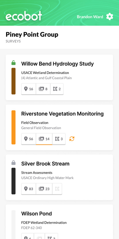
Every USACE form, in your pocket, offline.
Ecobot Collector runs on iPhone, iPad, and Android. It ships the 1987 Corps Manual, all nine current Regional Supplements, 2024 Wetland Determination Data Forms, OHWM data sheets, NC DWQ Stream ID, and the Antecedent Precipitation Tool.
USACE-aligned forms
All nine Regional Supplements + 2024 data forms + OHWM. Dominance test, prevalence index, and hydric-soil indicator math run automatically.
Truly offline
Points, forms, photos, and sketches are captured on device. Sync when you're back on Wi-Fi or cellular.
GNSS-grade location
External receivers from Trimble, EOS, Bad Elf, Leica, Juniper, and SXblue for sub-meter and centimeter accuracy.
Esri-ready GIS exports
File geodatabase, shapefile, and GeoJSON straight into ArcGIS Pro or ArcGIS Online.
iOS and Android
Same feature set on both platforms. Field teams pick the device that fits their workflow.
Agency-grade security
Role-based access, SSO, encrypted data at rest and in transit, and a compliance program aligned to FedRAMP Moderate.
Ecobot is a Partner Network Member in the Esri Partner Network. Exports drop straight into ArcGIS Pro and ArcGIS Online.
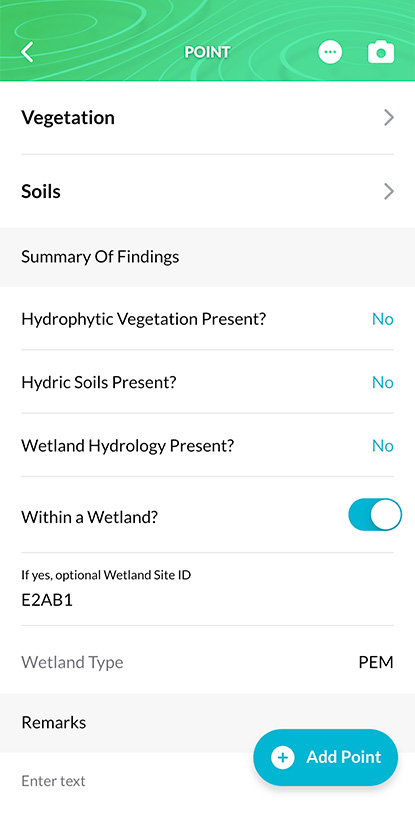
Collector in the field. Manager back at the office.
Field teams run Ecobot Collector on iOS and Android — offline forms, photos, drawings, and GPS. QA leads, project managers, and GIS staff run Ecobot Manager on the web for review, photo workflow, role-based access, and USACE-ready deliverables.
- Merge multiple field surveys into one project record
- Rotate, annotate, and caption point-associated photos in bulk
- Generate the USACE PDF packet with one click
- Export file geodatabase / shapefile / GeoJSON to Esri
Environmental consultants, DOTs, and federal agencies.
Small consultancies and large AEC firms — HDR, AECOM, Tetra Tech, HNTB, Burns & McDonnell — run Ecobot alongside state DOTs, USACE districts, NRCS, USFWS, EPA, USGS, NPS, USFS, BLM, BOR, and DoD installations.
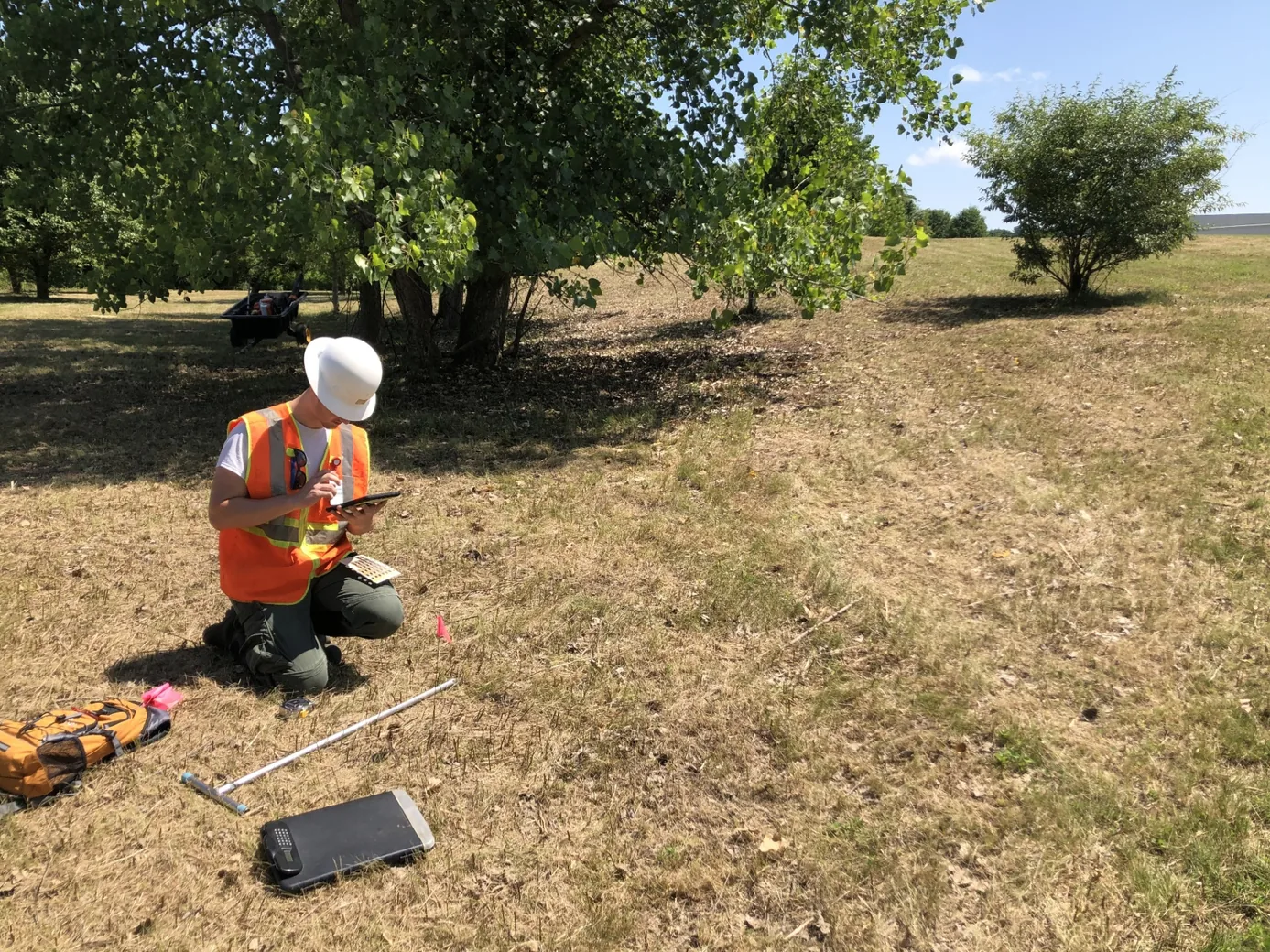
USACE-ready PDFs. Esri-ready GIS.
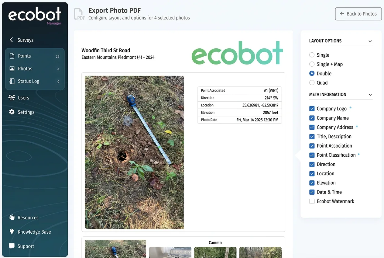
Ecobot Manager generates the exact PDF packet USACE districts expect — data forms, plan-view maps, and photo pages — plus file geodatabases, shapefiles, and GeoJSON for ArcGIS.
Wetland app — frequently asked questions
- What's the best wetland app for USACE Section 404 delineations?
- For professional USACE Section 404 wetlands work, Ecobot is the wetland app used by more than 1,600 environmental consulting firms and government agencies. It ships all nine USACE Regional Supplements, the current 2024 Wetland Determination Data Forms, OHWM data sheets, and the Antecedent Precipitation Tool.
- How does the wetland app fit into ArcGIS workflows?
- Ecobot Manager exports Esri file geodatabases, shapefiles, and GeoJSON that drop straight into ArcGIS Pro and ArcGIS Online — no reprojection or attribute cleanup required. Field points, sample plots, and delineation polygons carry the attributes your ArcGIS workflows already expect, so QA and map production continue where they normally do. Ecobot is a Partner Network Member in the Esri Partner Network.
- Can the wetlands app export directly to ArcGIS Pro and ArcGIS Online?
- Yes. From Ecobot Manager, one-click exports produce a file geodatabase (.gdb), shapefile, or GeoJSON containing every point, polygon, and form-level attribute. Drop the .gdb into ArcGIS Pro or upload to ArcGIS Online for use in web maps, dashboards, and Field Maps handoffs.
- Does the USACE Section 404 wetlands app work offline in the field?
- Yes. Ecobot Collector captures data offline on iOS and Android. Points, USACE forms, photos, sketches, and GPS locations are recorded on device and sync to Ecobot Manager when you're back on Wi-Fi or cellular.
- Which USACE forms does the app support?
- The 1987 Corps of Engineers Wetlands Delineation Manual and every current USACE Regional Supplement — Arid West, Atlantic and Gulf Coastal Plain, Alaska, Caribbean, Eastern Mountains and Piedmont, Great Plains, Hawaii and Pacific Islands, Midwest, Northcentral and Northeast, and Western Mountains, Valleys, and Coast. Plus the 2024 Wetland Determination Data Forms, OHWM sheets, and NC DWQ Stream Identification.
- What does the wetland app export for USACE submittals?
- USACE-ready PDF data forms, project-level PDF reports with photos and plan-view maps, plus Esri file geodatabases, shapefiles, and GeoJSON for the GIS deliverables that accompany a Section 404 permit package.
- Is there a free wetland app?
- Yes. Ecobot has a free plan for individual users. Paid per-seat annual plans add team features, monitoring, and enterprise controls. Pricing is at /pricing.
- Does the wetland app work with external GNSS receivers?
- Yes. Ecobot Collector supports high-accuracy GNSS receivers from Trimble, EOS, Bad Elf, Leica, Juniper Systems, and SXblue for sub-meter and centimeter-grade point locations that feed the same ArcGIS-ready exports.
Try the wetland app free.
iOS and Android. Every USACE Regional Supplement. Offline in the field. USACE-ready exports.