-
.webp)
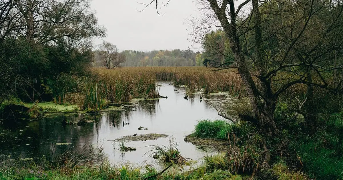
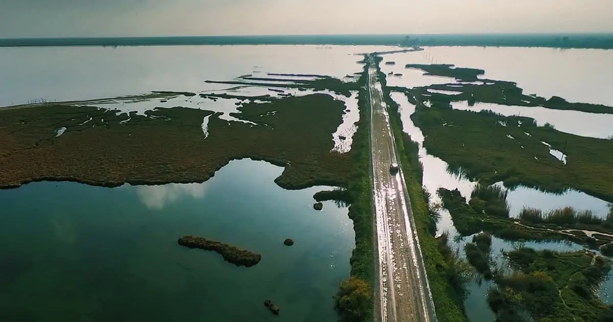
NWI at 50: the Impact and Future of Wetlands Data
-
.webp)
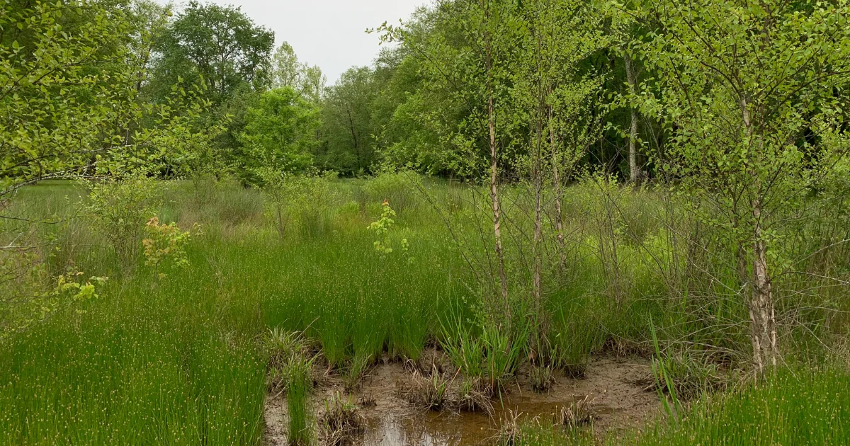
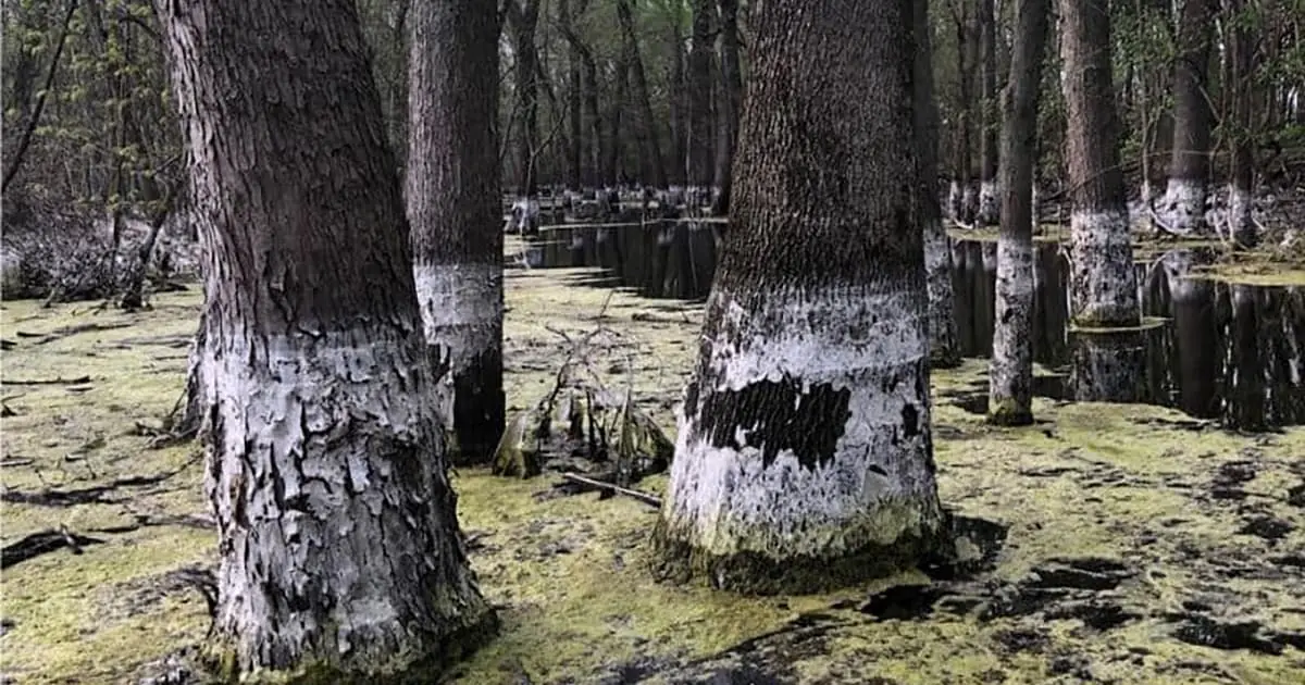
Identifying Drained and Filled Wetlands
-

GeoJSON, Shapefile, or GeoDatabase for GIS: Choosing the Right Export Type for Your Environmental Project
-
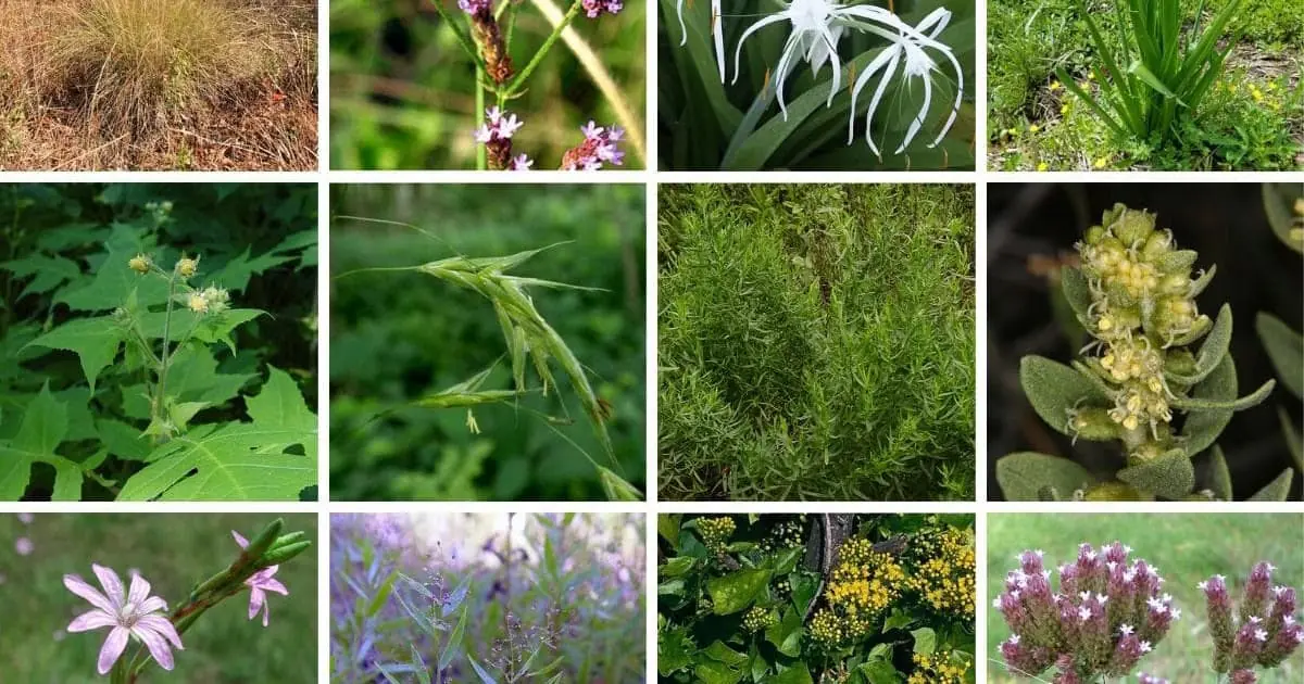
Understanding Hydrological Zones for Wetland Delineation
-
.webp)
Best Practices for Site Photos
-
Does Your Data Sheet Need Every Hydric Soil Indicator?
-
What's New in the 2024 USACE Wetland Determination Forms?
-

The Seasonal Splendors of Vernal Pools
-
Spring Fieldwork Checklist
-
.webp)
What's New in Version 9.0 of the Field Indicators of Hydric Soils?
-
5 Efficiency Tools for Environmental Assessments
-
Quick-Start Guide to OHWM Assessments
-
Ordinary High Water Mark: A Proxy for Regulatory Certainty?
-
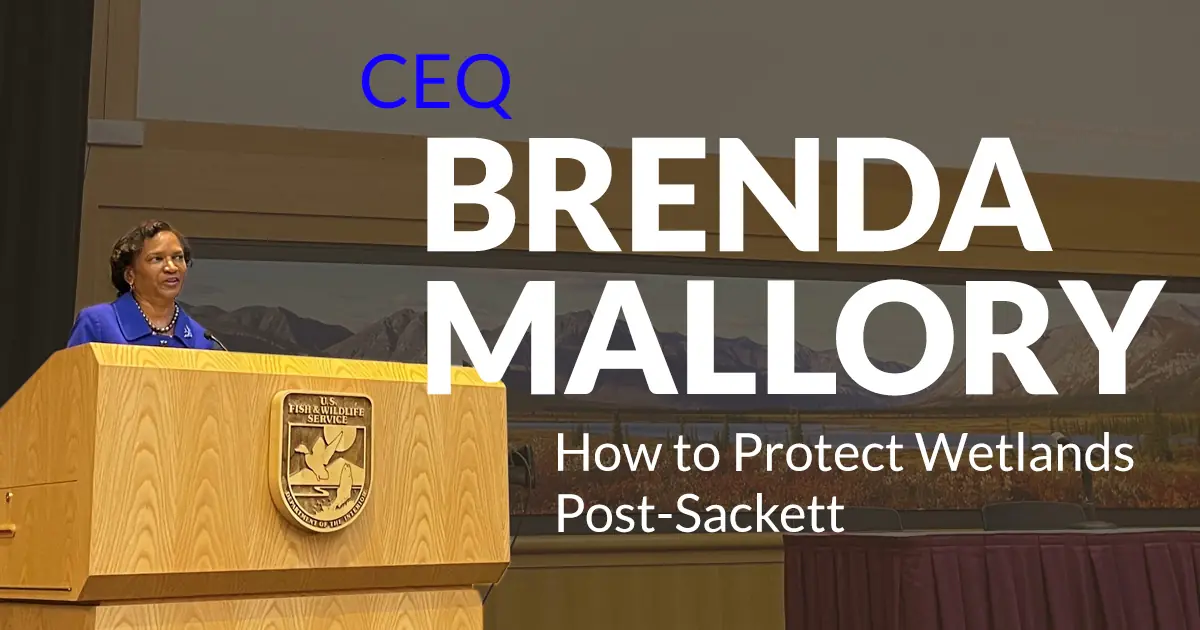
How to Protect Wetlands Post-Sackett
-
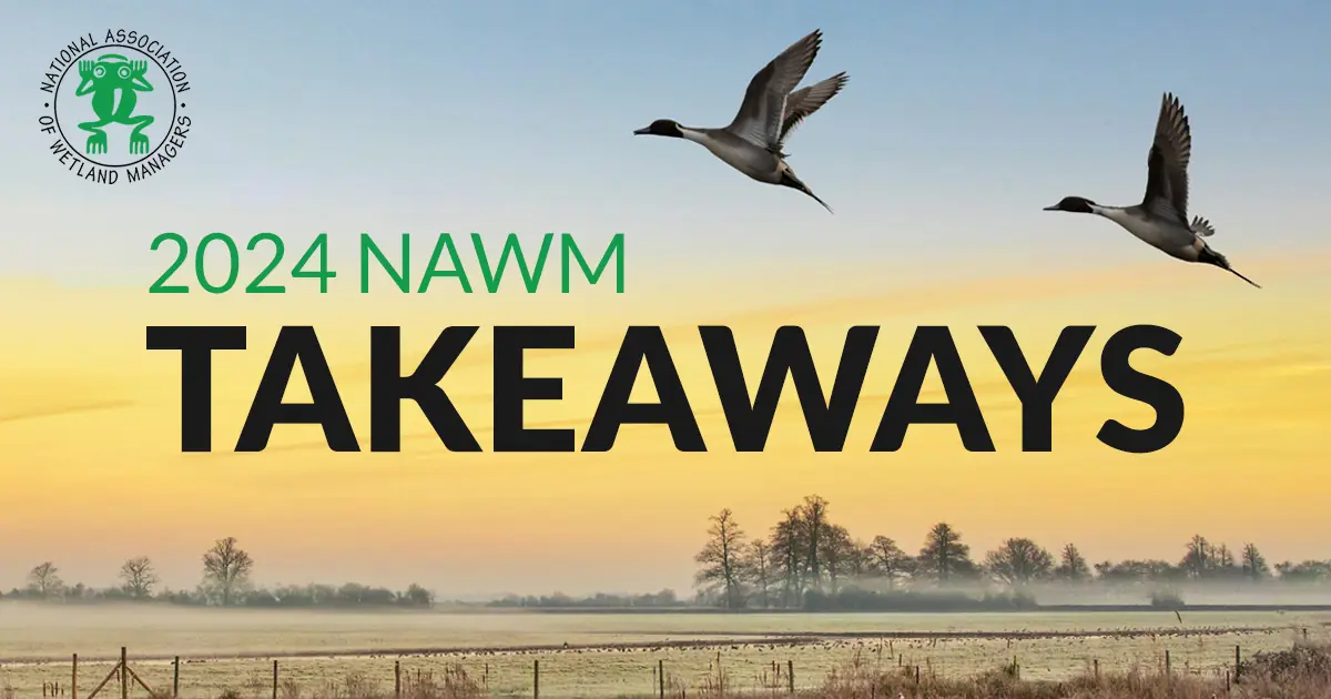
Top Takeaways from the 2024 NAWM Annual Meeting
-

A Year After Sackett v. EPA: Insights from D.C.-Based Environmental Lawyer Fred Wagner
-

Sackett v. EPA: One Year Later
-
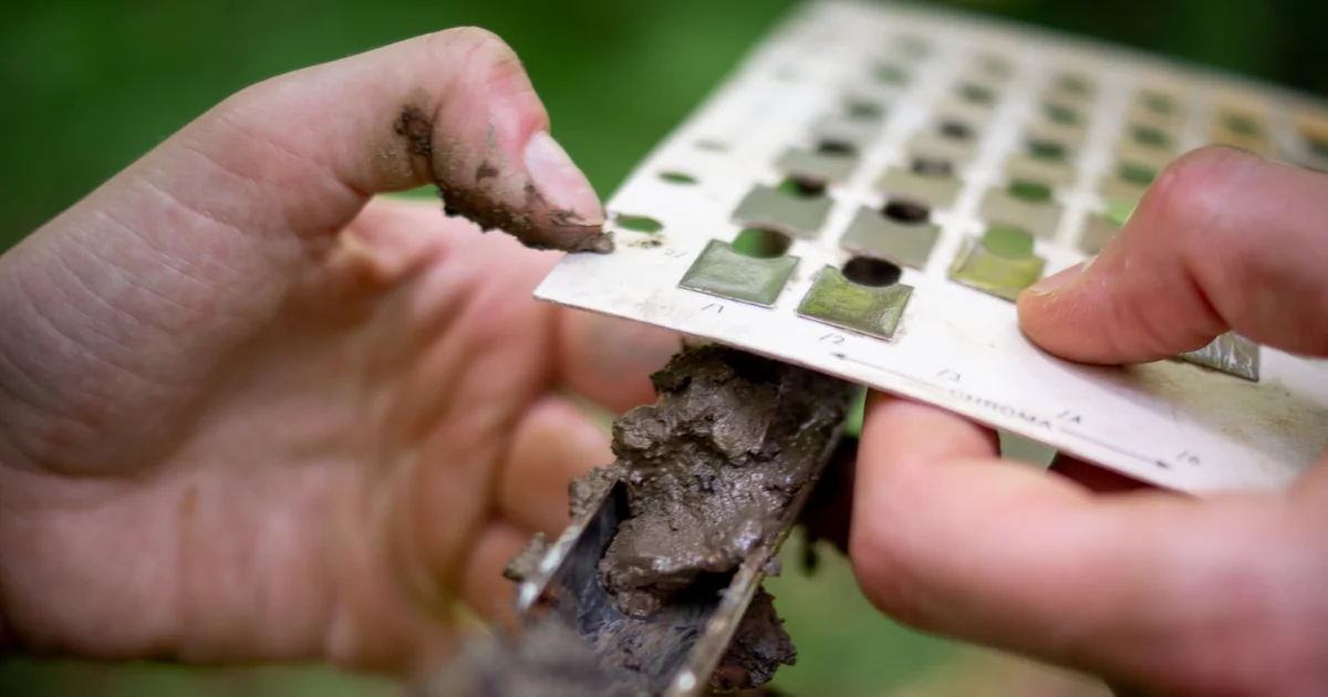
Understanding Gley Soil
-
Takeaways from the USFWS 2019 Wetlands Status and Trends Report
-
Greenbiz | Lionfish leather, pollution-free plastic and more: Whats your pick?
-
Integrated Data & Analysis Tools for Climate-Resilient Infrastructure
-
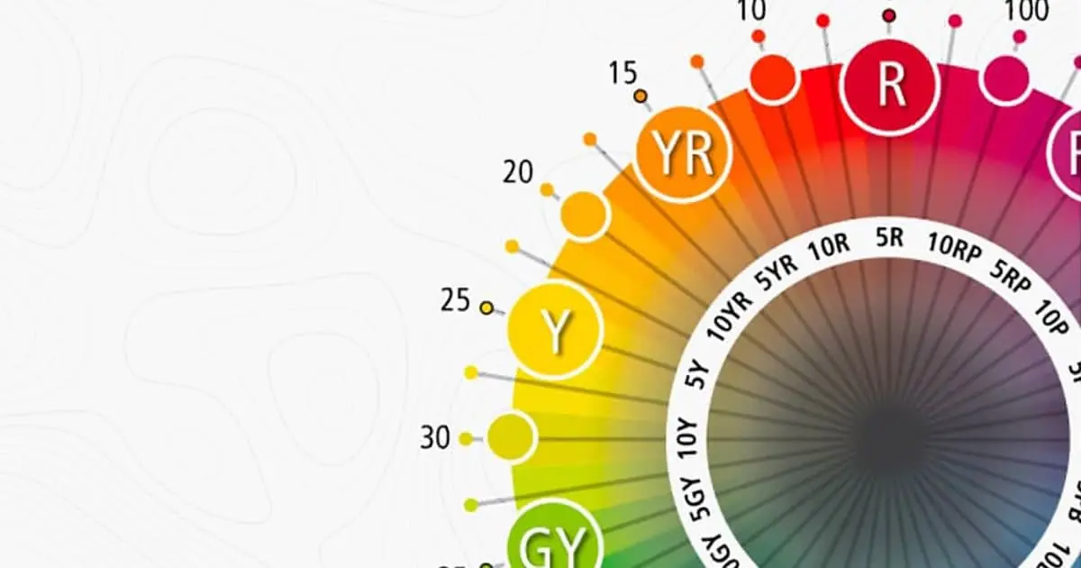
Munsell Soil Guide: Understand soil color more deeply with the free guide.
-
Environmental Business Journal | Ecobot Streamlines Delineation of Aquatic Resources, Plans Expansion Into Other Environmental Segments
-
Georgia Low Impact Solar Siting Tool (LISST) with Amy Gutierrez, The Nature Conservancy
-
Climate Tech 101 with Grace Donnelly of Climate Tech VC
-
Engineering News-Record | Accelerate the Environmental Permitting Process With GIS
-
Ecobot Surpasses Key Biodiversity Data Milestone
-

The Future of WOTUS with Fred Wagner, Partner at Venable LLP
-
Ecobot is Now Available for Android-Powered Devices
-
Ecobot Launches StoryMap Demo Regional Effects of SCOTUS Ruling
-

Digitized Environmental Permitting in Virginia, with Mike Roldband of Virginia Department of Environmental Quality
-

Making impactful environmental decisions, with EPICs Jessie Mahr
-

The Impact of the Infrastructure Investment and Jobs Act
-
Hypepotamus | For Asheville -based Ecobot, Hiring top tech talent means finding fellow entrepreneurs.
-

Ecobot Announces Free Subscription Option
-
Ecobot is the trusted platform for natural resource identification.
-
A Guide to Wetland Delineations (FAQ)
-
USACEs Antecedent Precipitation Tool (APT) For Wetland Delineations
-
Land Use Clarity via Advanced Mapping
-
Geospatial WOTUS Project Management Made Easy
-

Wonderful Workflows Addressing 21st Century WOTUS Woes
-

Kelp Forest Monitoring & Remote Sensing
-
Pitfalls of Ping Pong WOTUS Policy
-

Florida 404 Assumption: Policy & Practice
-
How USFWSs IPaC Streamlines Environmental Review and Permitting
-

Habitat Conservation Planning BMPs
-
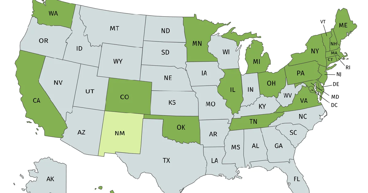
Challenges & Successes of State 404 Assumption
-
Future of Wetland Mitigation Banking
-

Updates and Future of NWI & NWCA
-

The 2020 NWPL Update is Live in Ecobot
-
The Real Impact of the Navigable Waters Protection Rule
-
NWPL Update is Live
-
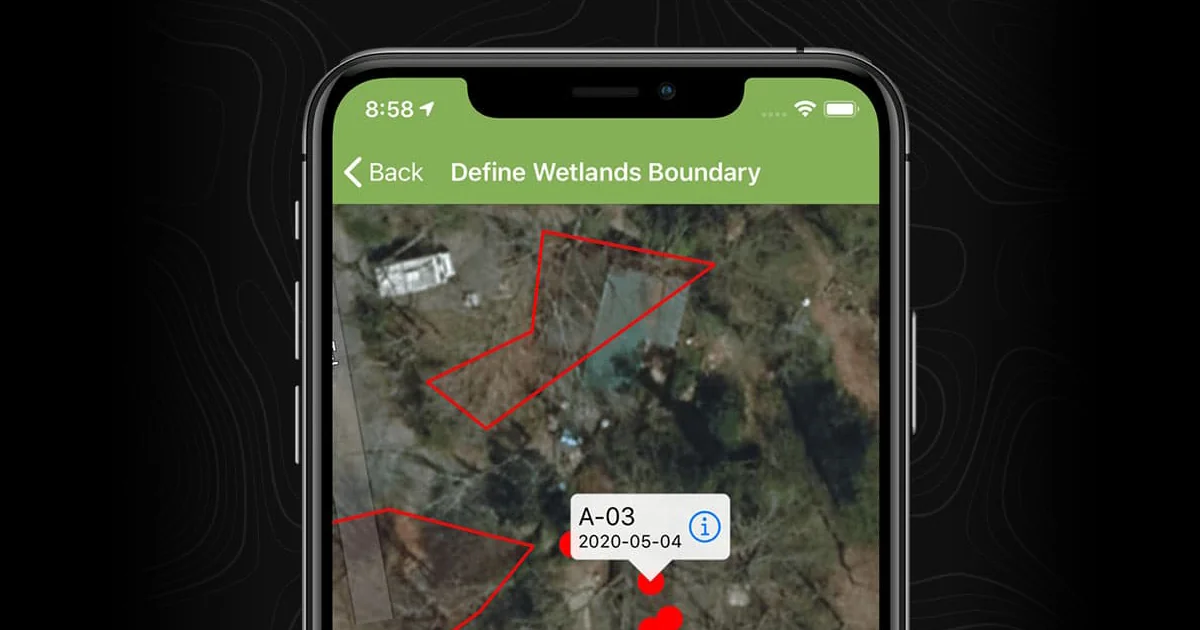
Ecobot Version 2: Map Wetlands Inside of Ecobot
-

The Only Constant is Change: Upcoming Revisions to the National Wetlands Plant List
-
Impacts of Proposed Revisions to WOTUS Rules
-
Ecobot Resources: Covering Technology, Policy, and News for the Environmental Industry
Ecobot Blog: Resources for Environmental Consultants
Gain practical insights with Ecobot's expert-written articles. Master complex environmental topics, keep pace with regulatory updates, and discover best practices in wetland science, soil science, and environmental permitting.
Engineered by the environmental consulting community and built in the heart of Asheville, NC.
Our award-winning platform is built on the expertise of our scientific advisors, customers and teammates. With amazing customer service and engineers dedicated to building reliable, intuitive software, Ecobot is at the forefront of innovation.


Get Updates
Industry news and platform updates.
Ecobot is a cloud-based platform that optimizes data collection and management for environmental permits, supporting efficiency and accuracy during fieldwork and post-processing. Ecobot helps customers deliver data consistency across a distributed workforce and enables them to utilize data in a variety of contexts. Ecobot is used by customers at the top AEC (architectural, engineering construction) and natural resources consulting firms; by numerous counties, state and federal departments of transportation (DOT); the mitigation banking industry; and utility, energy, and oil and gas companies.
Ecobot Collector, the mobile app component of the platform, is available for iOS via the Apple App Store, and for Android devices on the Google Play Store. Ecobot is an Esri Partner.
© 2026 Ecobot, Inc. All rights reserved. Ecobot® is a registered trademark of Ecobot, Inc. Patent Pending.