What is Gley Soil?
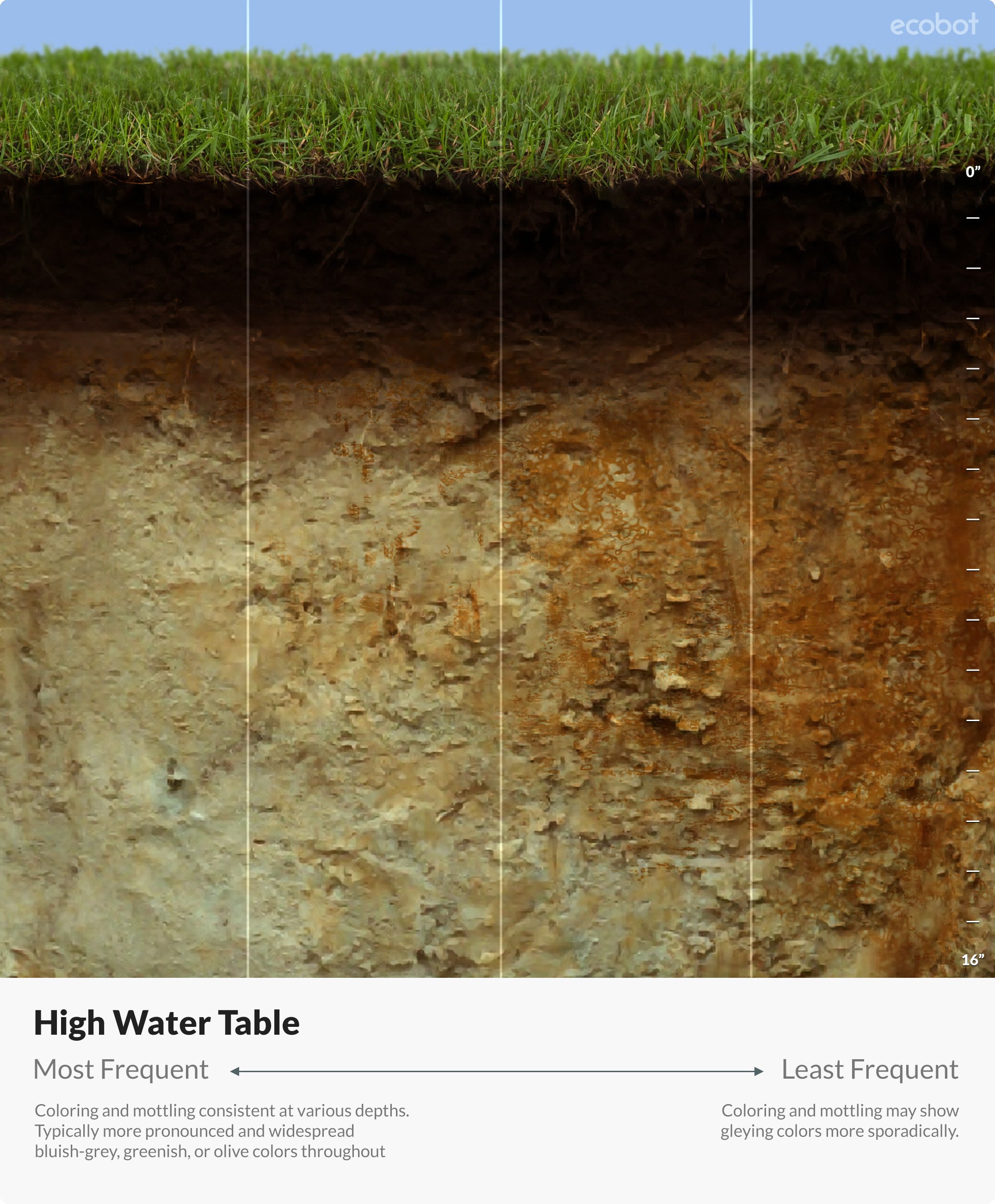
Gley soil is the result of consistently waterlogged, iron rich soil, and is often identified by its characteristic bluish-gray or greenish-gray color .
Gley soil is the result of consistently waterlogged, iron rich soil, and is often identified by its characteristic bluish-gray or greenish-gray color .
Topics: Clean Water Act, section 404, wetland delineation, soil, Resources, Field Science, gley
Topics: Clean Water Act, section 404, wetland delineation, soil, Resources, Field Science

Fred Wagner saw the debate over what constitutes Waters of the United States (WOTUS) begin the year he graduated law school, and he’s been at the center of his work ever since—on behalf of those trying to apply for permits under Section 404 of the Clean Water Act, on behalf of the government trying to enforce, Section 404 of the Clean Water Act. He’s even written a Supreme Court Amicus brief in the second litigation dealing with the recent Sackett v. EPA case decided by the Supreme Court of the United States (SCOTUS).
Topics: WOTUS, Clean Water Act, section 404, environmental permitting, wetland delineation, Policy, Article, News, Ecobite
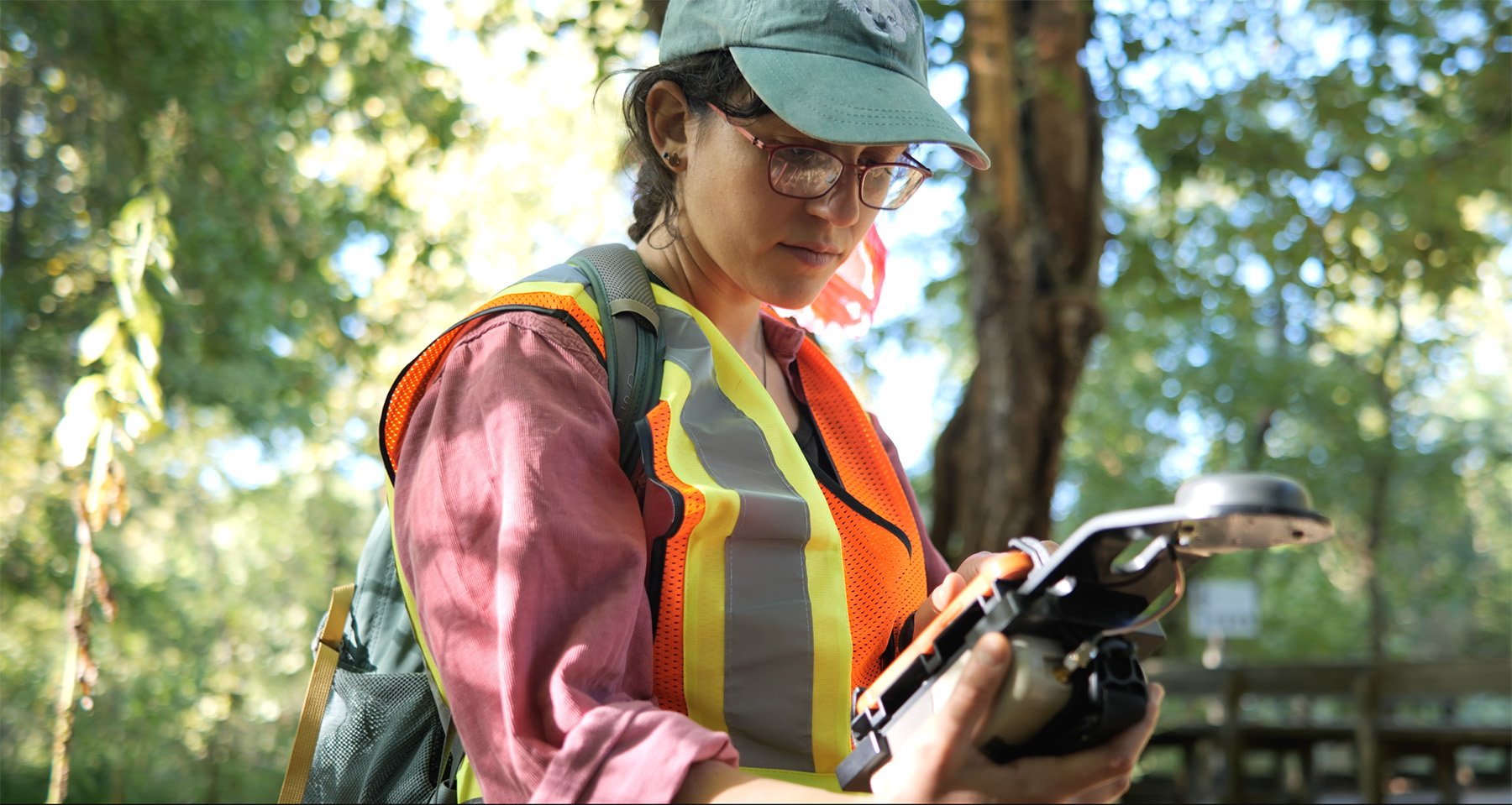
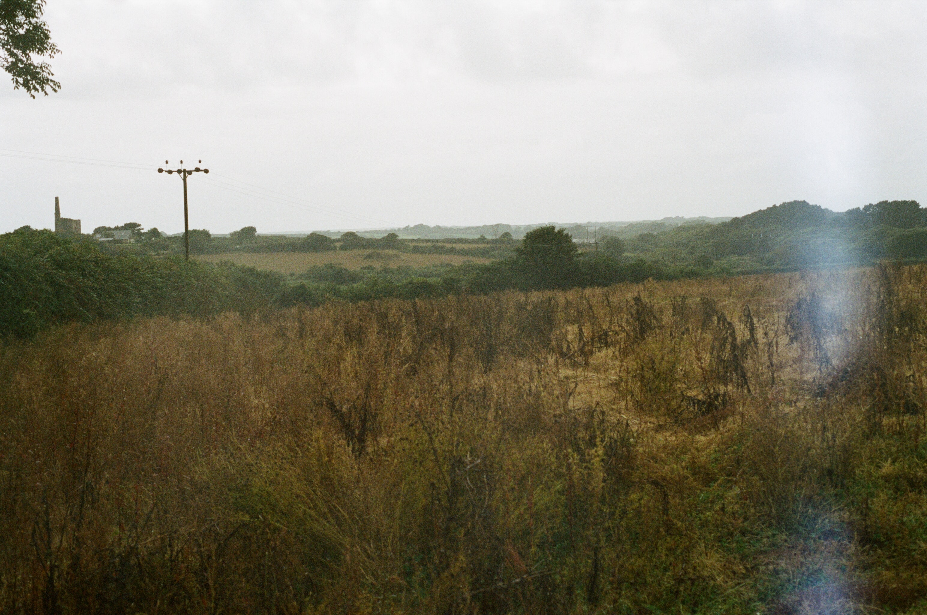
A wetland delineation is fieldwork that establishes the boundaries between wetlands and uplands on a property. A wetland is an area of land that is covered or saturated with water, either seasonally or permanently. Wetlands serve important ecological functions, affecting water quality and biodiversity, and are therefore regulated by Section 404 of the Clean Water Act.
Topics: section 404, environmental permitting, wetland delineation
This topic was covered in the 24th episode of Ecobot's webinar series, Convergence of Wetland Science and Technology. View recorded episodes here.
Topics: wetlands, USACE, Technology, section 404, environmental permitting, wetland delineation, Video, Article
