What is a wetland delineation? A wetland delineation is fieldwork that establishes the boundaries between wetlands and uplands on a property. A wetland is an area of land that is covered or saturated with water, either seasonally or permanently. Wetlands serve important ecological functions, affecting water quality and biodiversity, and are therefore regulated by Section 404 of the Clean Water Act.
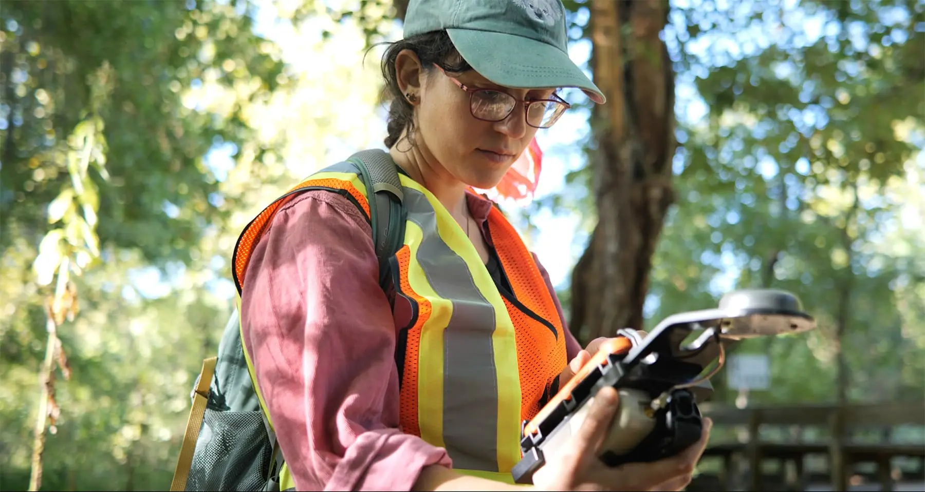
Ecobot is the fastest wetland delineation app. With efficiency-boosting features and automations to ensure accuracy, Ecobot helps customers secure permits more quickly, ultimately reducing construction timelines and boosting profit margins.
Ecobot offers a free subscription. Get started today.
When is a wetland delineation performed? Wetland delineations are mandatory in advance of development projects regulated by federal or state permits. Projects can range in size from roadside utility line maintenance or home building, to large-scale infrastructure development.
A wetland delineation report is submitted to the U.S. Army Corps of Engineers (USACE), as well as to state and local agencies, before a permit can be issued. The regulatory agencies will assist in the jurisdictional determinations (JDs) of any wetlands on a given property, and issue the appropriate permits if a wetland will be temporarily or permanently impacted.
Wetland delineation and permitting is legally mandated if wetland presence is determined on a property and may be impacted by development. Projects can face serious delays if the delineation is not properly completed. USACE and local regulatory agencies must approve the wetland boundary in order to issue a permit to impact regulated wetlands.
Wetland regulations vary from state to state following the Sackett v. EPA decision that narrowed the definition and regulatory scope of wetlands under the Clean Water Act. This decision impacts how wetlands are identified and protected, emphasizing the importance of thorough and accurate wetland delineations to comply with federal regulations. See how strictly your state regulates wetlands in Ecobot’s StoryMap, How does SCOTUS’ Sackett v. EPA Decision Affect You?
Ecobot provides digital data normalization and real-time QA that can help to reduce delays in the permitting process. Explore the platform for free.
How do you perform a wetland delineation? Typically Professional Wetland Scientists (PWS), botanists, soil scientists, ecologists, and environmental scientists perform wetland delineations. To determine wetland presence, the delineator analyzes the vegetation, soil, and hydrology of a site. Consultants use the National Wetland Inventory (NWI) before heading into the field to identify known wetlands and prepare their expectations for the field.
A wetland is defined by having hydrophytic vegetation, indicators of wetland hydrology, and evidence of hydric soil indicators.
The USDA Plant List and the USACE National Wetland Plant List (NWPL) are used to identify hydrophytic vegetation. Vegetation is then evaluated for one of the following indicator statuses:
- Obligate wetland (OBL) almost always occur in wetlands under normal conditions.
- Facultative wetland (FACW) typically occur in wetlands, but can be found elsewhere.
- Facultative (FAC) can occur in wetlands or non-wetlands (uplands).
- Facultative upland (FACU) are typically found in uplands.
- Obligate upland (UPL) are almost always found in uplands in normal conditions.
The USACE Wetland Delineation Manual and corresponding Regional Supplements are used to identify indicators of wetland hydrology including, high water tables, sediment deposits, and the presence of surface water. The Munsell Soil Color Book is used to identify the colors of soil matrices and redoximorphic (redox) features. Download Ecobot’s Munsell Soil Reference Guide.
Ecobot automatically selects vegetation indicator status depending on which region you are working in. With regionally-specific customizations, automated QA, built-in reference tools, and efficiency-boosting features, Ecobot helps customers collect accurate pre-construction data and supports quicker permitting turnarounds. Sign up for a free subscription and simplify wetland, stream, and Ordinary High Water Mark assessments.
What other assessments are conducted with wetland delineations?
Depending on the site and region, consultants may need to conduct additional assessments, including stream assessments or Ordinary High Water Mark assessments. Ecobot supports wetland delineations, stream assessments, and Ordinary High Water Mark assessments. Sign up for free.
Why are wetlands protected? Wetlands are defined and regulated under Section 404 of the Clean Water Act (CWA), the primary law governing pollution control and water quality protections of waterways in the United States, due to their critical ecological value. Wetlands offer far-ranging benefits that surpass the boundaries of any single site, including flood control, groundwater recharging through aquifers, and water quality improvement via filtration. Wetlands also provide a unique habitat to many species. Some wetlands qualify as Waters of the United States (WOTUS) and face additional regulations.
Federal wetland regulations were restricted following the Sackett v. EPA decision in May 2023, and regulations vary state-by-state. Learn how wetland protections vary across the United States in Ecobot’s StoryMap, How does SCOTUS’ Sackett v. EPA Decision Affect You?
Ecobot ensures the protection and management of natural resources by providing quality data collection. Pair your GNSS device to the Ecobot app for sub-meter accuracy deliverable to GIS professionals and civil engineers. Our geospatial partners include Trimble, Eos Positioning Systems, Juniper Systems, Leica Geosystems, SXBlue, and Bad Elf, as well as direct integration with Esri’s ArcGIS Online & ArcGIS Pro.
How long does a wetland delineation take? The amount of time a wetland delineation takes to complete depends on the size of the project and number of sampling points that need to be collected. Delineations are typically conducted during the regular growing season, approximately May 15-September 15.
It can take between a few months to a year for permits to be granted. Wetland delineations remain valid for five years after the survey takes place.
Ecobot is the fastest wetland delineation app, reducing wetland delineation timelines by up to 50%, with huge time savings during fieldwork and report preparation, amounting to higher profit margins and tightened development timelines. Firms that use Ecobot consistently deliver on tight timelines and budgets, and are able to win more bids.
How much does wetland delineation cost? The cost of a wetland delineation depends on the size of the project site. An area smaller than 5 acres can cost under $1,000, while a larger project can cost thousands of dollars.
Ecobot customers see significant time and cost savings due to boosted efficiency and reduced labor costs. With tighter budgets and timelines, companies that use Ecobot win more bids overall. Learn how Ecobot can support your environmental team and your wetland delineation workflow.
What is a United States Army Corps of Engineers (USACE) wetland determination form? Wetland determination forms are found in the Regional Supplements to the Corps of Engineers Wetland Delineation Manual, and are used to document the presence or absence of wetlands.
Ecobot supports wetland delineations in each USACE region, including: Alaska; Arid West; Atlantic and Gulf Coast Plain (AGCP, 4 or 5 strata); Caribbean Islands; Eastern Mountains and Piedmont (EMP, 4 or 5 strata); Great Plains; Hawaii and Pacific Islands; Midwest; Northcentral and Northeast; Western Mountains, Valley, and Coast; and the state of Florida via the FDEP 62-340 Form.
Can I perform a wetland delineation myself? If you’re a landowner, you would need to hire an environmental consultant or Professional Wetland Scientist (PWS) to perform the wetland delineation. To ensure you are getting the best cost possible, ask if they are using Ecobot.
Where can I learn more about Wetland Delineations?

