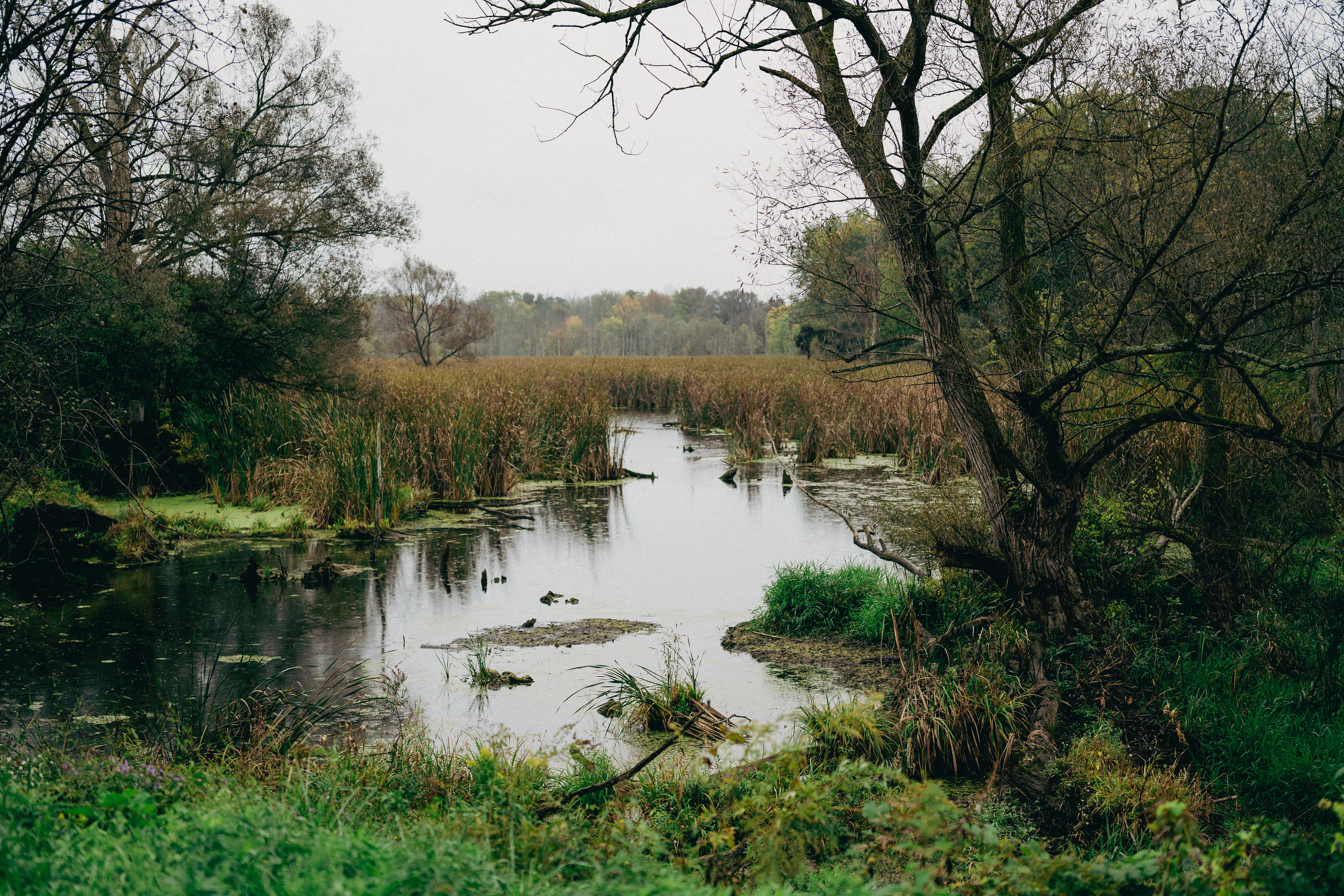
Learn about the software helping wetland scientists tighten project timelines by boosting efficiency in the field and back at the office.
This topic was covered in the 22nd episode of Ecobot's webinar series, Convergence of Wetland Science and Technology. View recorded episodes here.
Read More
Topics:
WOTUS,
Technology,
GIS,
section 404,
fastest wetland delineation app,
environmental permitting,
wetland delineation,
Article,
Convergence of Wetland Science and Technology
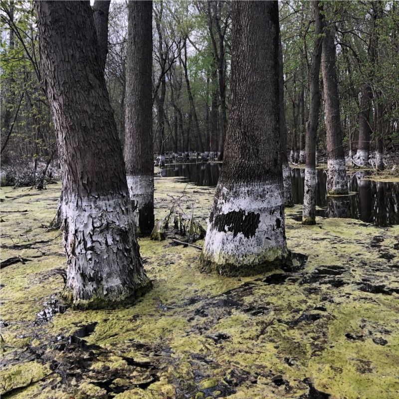
Ever-changing Waters of the United States (WOTUS) policy impacts both the regulatory and consulting spaces, as well as environment and infrastructure.
Read More
Topics:
wetlands,
Ecobot,
conservation,
WOTUS,
Clean Water Act,
section 404,
environmental permitting,
natural resources,
Policy,
Article,
Convergence of Wetland Science and Technology
U.S. Fish & Wildlife Service’s IPaC software makes environmental review and permitting more straightforward, efficient, and transparent than ever for the Service and users alike.
This topic was covered in the 14th episode of Ecobot's webinar series, Convergence of Wetland Science and Technology. View recorded episodes here.
Read More
Topics:
Technology,
environmental permitting,
natural resources,
Article,
Biodiversity,
Convergence of Wetland Science and Technology
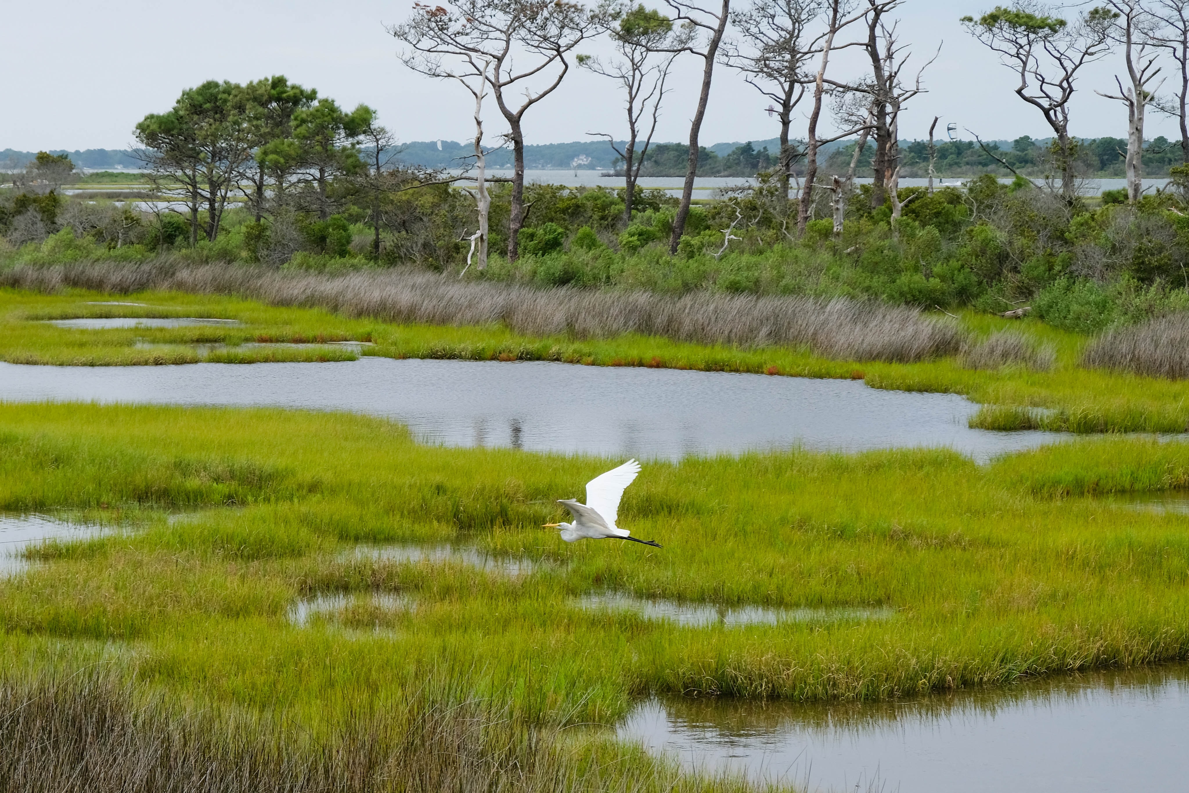
Experts from inside the U.S. Fish and Wildlife Service and the environmental consulting world discuss Habitat Conservation Plans (HCP)–what they are, what factors to consider when creating an HCP, and best management practices for doing so.
This topic was covered in the 20th episode of Ecobot's webinar series, Convergence of Wetland Science and Technology. View recorded episodes here.
Read More
Topics:
conservation,
environmental permitting,
Policy,
Article,
Resources,
Biodiversity,
Convergence of Wetland Science and Technology
Explore the current state of affairs around wetland mitigation banking and respective policy with bankers, consultants, and policy-makers.
This topic was covered in the 10th episode of Ecobot's webinar series, Convergence of Wetland Science and Technology. View recorded episodes here.
Read More
Topics:
WOTUS,
environmental permitting,
wetland delineation,
natural resources,
mitigation,
Policy,
Article,
Convergence of Wetland Science and Technology