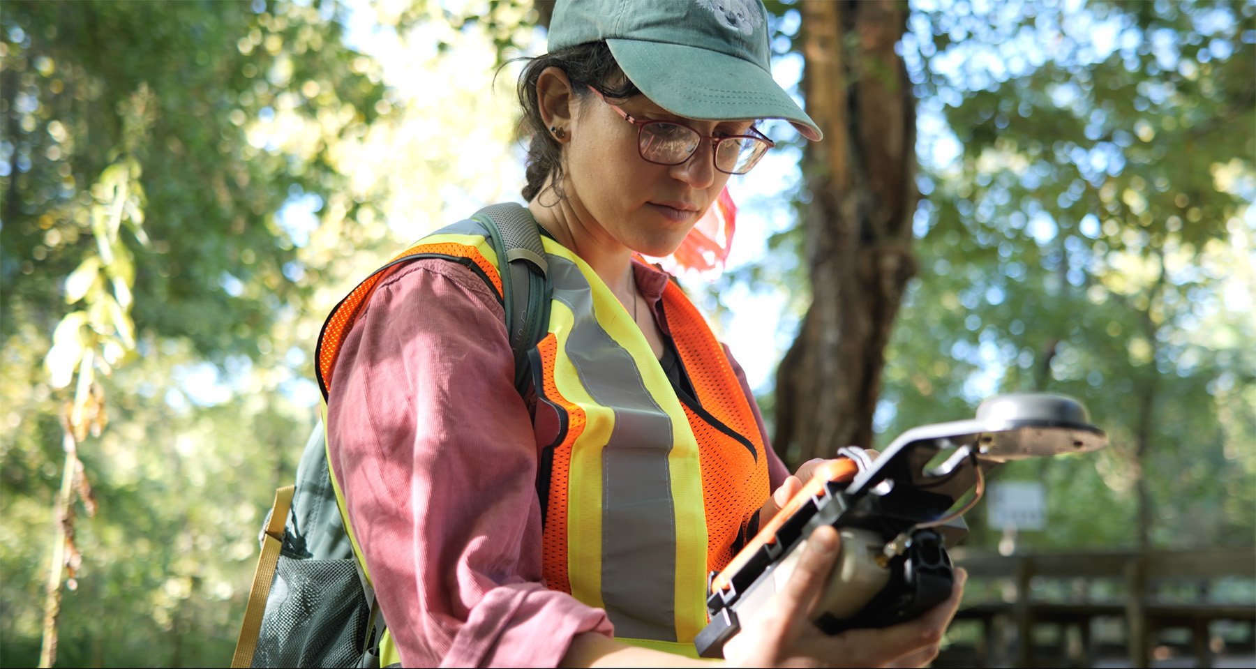
Ecobot, the premier digital solution for mandatory pre-construction assessments, has launched a new version of the platform, enabling all environmental consultants across the country to leverage the core benefits of a proven digitized permitting workflow that has been used to generate over 85,000 regulatory reports. New customers can begin a free subscription using the self-service portal at ecobot.com.
Read More
Topics:
wetlands,
Ecobot,
conservation,
WOTUS,
Clean Water Act,
technology,
delineation,
fastest wetland delineation app,
wetland delineation app,
environmental permitting,
preconstruction,
wetland delineation,
natural resources,
natural resource identification,
efficiency software
Ecobot assists with digitizing federal and state agencies' field work around natural resource identification, reducing labor costs around natural resources regulation, and stretching federal funding and budgets to their fullest extent.
Read More
Topics:
WOTUS,
Clean Water Act,
EPA,
Esri,
Navigable Water Rule,
fastest wetland delineation app,
wetland delineation app,
environmental permitting,
wetland delineation,
NRCS,
natural resources,
swampbuster,
USDA,
natural resource identification,
whitelisted,
DOT,
USBR,
efficiency software
What is a wetland delineation?
A wetland delineation is fieldwork that establishes the boundaries between wetlands and uplands on a property. A wetland is an area of land that is covered or saturated with water, either seasonally or permanently. Wetlands serve important ecological functions, affecting water quality and biodiversity, and are therefore regulated by Section 404 of the Clean Water Act.
Read More
Topics:
wetlands,
Ecobot,
US Army Corps of Engineers,
WOTUS,
Clean Water Act,
EPA,
USACE,
Esri,
NWPL,
delineation,
section 404,
fastest wetland delineation app,
wetland delineation app,
404,
environmental permitting,
preconstruction,
wetland delineation
Have you used USACE’s Antecedent Precipitation Tool (APT)? With many USACE districts now recommending or requiring ATP data alongside jurisdictional reports, the Tool has an important place in the wetland delineation and monitoring process.
This topic was covered in the 24th episode of Ecobot's webinar series, Convergence of Wetland Science and Technology. View recorded episodes here.
Read More
Topics:
wetlands,
climate,
monitoring,
US Army Corps of Engineers,
USACE,
technology,
section 404,
environmental permitting,
wetland delineation,
efficiency software,
apt,
Antecedent Precipitation Tool
Do you use Esri’s ArcGIS Field Maps? Use Ecobot alongside ArcGIS Field Maps enables environmental consultants to streamline field data collection for wetland projects, make the data collected more accurate and robust, and easily collaborate with teammates.
This topic was covered in the 23rd episode of Ecobot's webinar series, Convergence of Wetland Science and Technology. View recorded episodes here.
Read More
Topics:
technology,
ArcGIS,
Esri,
fastest wetland delineation app,
wetland delineation app,
environmental permitting,
efficiency software