Burns & McDonnell is a family of companies with a team of 13,500 engineers, construction professionals, architects, technologists, and scientists, with a worldwide presence in planning, design, permitting, construction, and project management. From investigations and remediation to compliance and permitting, they help determine the most effective and cost-efficient environmental solutions.
Ecobot’s platform helps to create high levels of field and office efficiency, saving time and money for both Burns & McDonnell and their clients.
A team of two completed 33 wetland sample points and identified and mapped 32 individual wetland units and 14 streams in fewer than 3 days for a 1,400-acre site.
The Challenge
A two-person Burns & McDonnell wetland field team needed to verify the existence of wetland areas for a 1,400-acre proposed renewable energy site in North Texas. As part of their scope of work, Burns & McDonnell needed to remotely assess, complete fieldwork, and compile all of their findings for concurrence by the US Army Corps of Engineers (USACE) in their Jurisdictional Determination (JD) for any “Waters of the United States” (WOTUS) observed on the site in respect to a potential USACE 404 permit application or state 401 Water Quality Certification.

Despite the size of the project, the field team was restricted to only three days to complete all fieldwork due to a tight construction schedule. An additional challenge: the project was completed at the very beginning of the growing season for the area. This meant that most plant species had to be identified in dormant conditions.
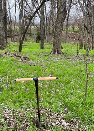
The project area contained several systems of streams and associated riparian wetland complexes. This would generally require more field time and greater level-of-effort to complete the wetland delineation and stream classifications. Additionally, the site was not consistent in terms of vegetative land cover and natural communities. Portions of the site were heavily forested, while other areas were dominated by agricultural or fallow fields. The site’s hydrology had also been manipulated to support agricultural practices. The variability of natural and man-made drainages added another layer of complexity to a site already exhibiting various wetland types and upland areas.
The Solution
During the completion of this wetland delineation, Burns & McDonnell had just begun to use Ecobot for projects. Specifically, this was their first paid client project where they leveraged the app in the field. The deployment of Ecobot allowed the two person field team to complete their fieldwork in a fraction of the time and cut out a significant level-of-effort at the office.
“Ecobot was user-friendly enough that we were able to learn how to use it on the fly, while still saving time during the field effort,” said one employee after utilizing the app in the field for the first time on this project.
Employees are leading the charge in using modern technology to replace old, pen-and-paper processes that have bogged down the industry for decades. Ecobot’s offline capabilities further streamlined the data collection process in the field. The project site was remote enough that cellular service was spotty; offline features allowed for the delineation to be completed without having to spend additional time in the office post fieldwork confirming information such as the wetland indicators of plants found on site.
Even in light of the considerable project size, Ecobot helped the two-person team work effectively together and compile their results seamlessly into a single data set and report.
“This represents a pivotal shift in the way Burns & McDonnell completes fieldwork”
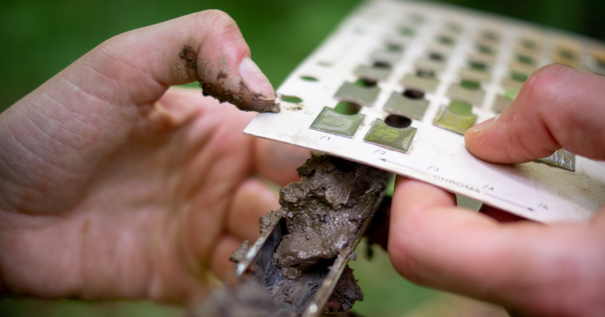
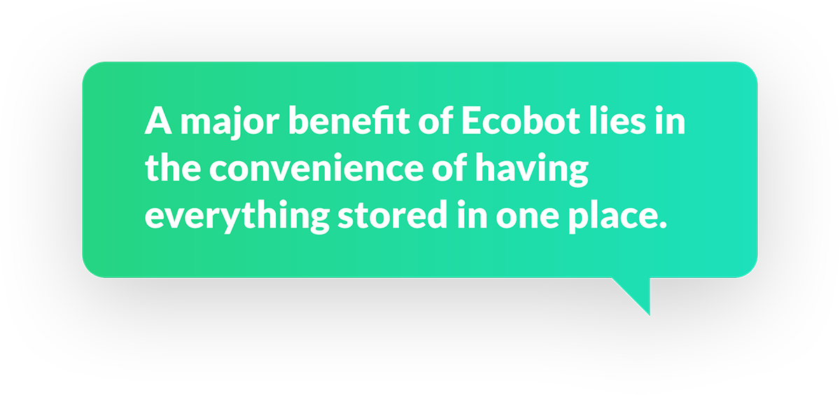
“A major benefit of Ecobot lies in the convenience of having everything stored in one place. We are often covering a lot of ground daily, and it is very helpful to only have to carry around one device as opposed to multiple resources.” Ecobot provides effective solutions to common field slowdowns by including wetland indicator statuses for vegetation and automatic calculations for the dominance test and prevalence index in the app. Automated calculations and the ability to work entirely offline are just two of the factors that Ecobot took into consideration in building their platform with scientists in mind, contributing to the significant time savings on this project. Equally as important as creating a digital collection solution, Ecobot allows scientists to build actionable knowledge in the field, in realtime. More than anything, the app helps to move through wetland sample points faster from the point of data collection all the way through to data form completion.
With the integration of key decision-making components, like the automated FAC-neutral test and the calculations of prevalence index, the Burns & McDonnell team was able to determine more quickly and efficiently the boundaries of wetlands within the project site. These calculations and results are delivered immediately as vegetation is entered into the app. Before Ecobot, scientists had to have multiple regions’ plant indicators memorized, or carry all of the USACE reference tools with them in the field. Additionally, in project areas where there is no data coverage, Ecobot provides offline lookup tools like hydrology and soil indicators. For national companies like Burns & McDonnell, having tools that work offline and that are available for all USACE regions are especially important to scientists, because they may find themselves working in several regions of the country within the same field season.
Results
Burns & McDonnell deployed a two-person team to the field and by using Ecobot, they were able to collect data for 33 wetland sample points and identify and map 32 individual wetland units and 14 streams in fewer than 3 days for a 1,400-acre site. The entire scope of work including report preparation and regulatory submittals was completed in less than a month.
An initial desktop assessment was conducted to identify high probability areas for wetlands. This analysis was done in ArcGIS using U.S. Geological Survey (USGS) 7.5-minute topographic maps, USGS National Hydrography Dataset (NHD), U.S. Fish & Wildlife Service (USFWS) National Wetland Inventory (NWI) maps, National Agriculture Imagery Program (NAIP) aerial photography, Federal Emergency Management Agency (FEMA) National Flood Hazard Layer (NFHL), and U.S. Department of Agriculture (USDA) Natural Resources Conservation Service (NRCS) Soil Survey Geographic (SSURGO) digital data.
With the aid of Ecobot, the fieldwork was completed in fewer than 3 days collecting sufficient data to identify 33 and map 32 individual wetlands. The geospatial data collected in the field was imported into ArcGIS for review and final shapefiles were submitted to the client within a week of completing field surveys. A complete report was submitted to the client on time and well within budget.