Company Profile: DIEHLUX is an ecological and natural resource consulting company based in upstate New York, offering innovative and adaptive solutions for energy, telecommunications, municipal, water resources, and land development. DIEHLUX manages due diligence, on-site monitoring, and permitting for their clients.
Project Types: Utility developments, including solar and wind; overhead electrical; transmission and gas lines; and telecommunications infrastructure.
Key Outcomes:
- Reduced level of time and effort by 66%
- Consolidated process simplifies organization and accurate deliverables
- Expedite access to key site visuals and metadata for clients and project stakeholders
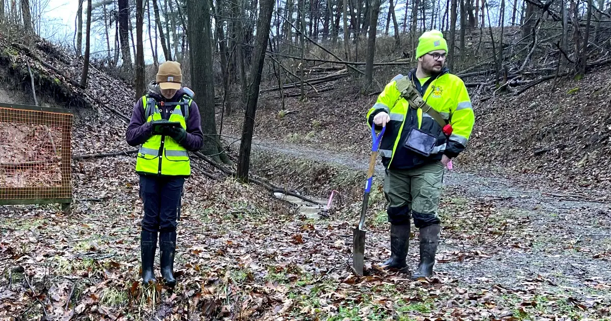
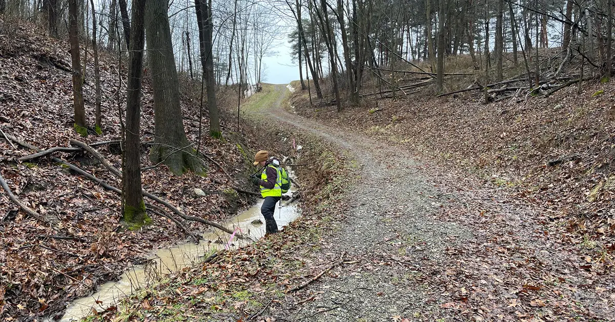
Using Ecobot, environmental scientists Cory Zuhlsdorf and Gillian Smith have shaved hours from their workloads.
With Ecobot’s end-to-end photos tool running on their mobile devices and paired with a Juniper Geode GNSS device for optimal geospatial accuracy, Zuhlsdorf and Smith can capture site photos in all four cardinal directions, add comments and descriptions, and associate the data with a sampling point, all from the field. All that’s left for the office is to complete QA/QC, select which photos from the batch they would like to include, and generate polished PDF exports with a click.
“With geolocated photo reporting, we kill a lot of birds with one stone. It’s so easy to provide a document that is accurate and illustrative. ”
—Cory Zuhlsdorf, Environmental Scientist
“Having photos transmit seamlessly from the field to reports is a HUGE time saver, and it helps us stay organized and accurate.”
—Gillian Smith, Environmental Scientist

When clients ask questions about something at a site 5 hours away, being able to geo-reference photos is a huge advantage, a task that was much more laborious to accomplish previously.”
—Travis Money, Senior Vice President


