Adapted and shared with permission from Marc Seelinger, PWS, of Swamp School. Learn more about the author below.
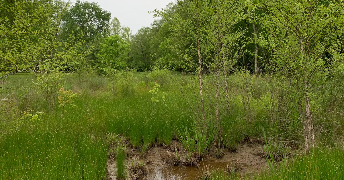
Accurately identifying and interpreting the different hydrological zones within the top 24 inches of soil is essential for wetland delineation, regulatory compliance, and ecological assessments under the Clean Water Act. This blog provides clear definitions and authoritative references for these critical zones: the surface water zone, root zone, capillary fringe, and zone of saturation.
Surface Water Zone (0–2 inches)
The surface water zone is the topmost soil layer, characterized by temporary ponding or accumulation of water following precipitation events. Mitsch and Gosselink (2015) emphasize that this zone is ephemeral, generally drying quickly after rainfall ceases. Indicators of the surface water zone include water-stained leaves, small puddles, and algal mats, essential for identifying recent hydrologic activity (USACE, 2010).
Root Zone (2–12 inches)
The root zone, located directly beneath the surface water zone, is where the majority of plant roots reside. Soil moisture here fluctuates frequently due to evapotranspiration and infiltration processes. Vepraskas and Craft (2016) note this zone’s biological richness, highlighting its dynamic moisture conditions that support significant aerobic microbial activity critical for nutrient cycling.
Capillary Fringe (12–18 inches)
The capillary fringe is a transitional layer just above the water table. Water from the saturated zone below is drawn upward into this area through capillary action, keeping it consistently moist but not fully saturated. According to Richardson and Vepraskas (2001), the thickness and moisture content of this fringe vary based on soil texture, significantly affecting soil chemistry and plant water availability.
Zone of Saturation (18–24 inches and deeper)
The zone of saturation is marked by permanently or seasonally water-filled pores, defining the water table’s presence. This anaerobic zone is critical in forming hydric soils, one of the primary indicators used in regulatory wetland delineation (USDA NRCS, 2020). Reddy and DeLaune (2008) highlight the zone’s importance in biogeochemical processes, including iron reduction and denitrification, shaping soil morphology and ecological functions.
Why do hydrological zones matter for wetland delineation?
Recognizing these distinct hydrological zones enhances the accuracy and reliability of jurisdictional determinations and ecological assessments. It is vital for environmental professionals to understand and document soil-water relationships comprehensively, supported by established scientific literature and regulatory guidelines.
References
- Mitsch, W. J., & Gosselink, J. G. (2015). Wetlands (5th ed.). John Wiley & Sons.
- Richardson, J. L., & Vepraskas, M. J. (2001). Wetland Soils: Genesis, Hydrology, Landscapes, and Classification. Lewis Publishers.
- Reddy, K. R., & DeLaune, R. D. (2008). Biogeochemistry of Wetlands: Science and Applications. CRC Press.
- U.S. Army Corps of Engineers (USACE). (2010). Regional Supplement to the Corps of Engineers Wetland Delineation Manual: Eastern Mountains and Piedmont Region (Version 2.0). ERDC/EL TR-10-9.
- U.S. Department of Agriculture Natural Resources Conservation Service (USDA NRCS). (2020). Field Indicators of Hydric Soils in the United States: A Guide for Identifying and Delineating Hydric Soils. Version 8.2.
- Vepraskas, M. J., & Craft, C. B. (2016). Wetland Soils: Genesis, Hydrology, Landscapes, and Classification (2nd ed.). CRC Press.
About the Author
Marc Seelinger, PWS, is the founder, director, and lead instructor of Swamp School, which offers educational courses and skills development in environmental science, conservation practices, sustainable resource management, and ecological restoration. Learn more at swampschool.org.

