In a regulatory landscape where scientific and legal terms don’t always match up, the National Ordinary High Water Mark (OHWM) form stands in contrast, offering a clear, standardized environmental assessment across regions and states. OHWM is a valuable resource for professionals in civil engineering and environmental consulting to deliver high-quality assessments that use clear parameters, and ensure peace of mind for firms.
An OHWM assessment demonstrates that due diligence was exercised, and can serve as a proxy for regulatory certainty in states that rely exclusively on federal aquatic resources (i.e., wetlands and streams) regulations.
Why the OHWM Form Matters
From the Clean Water Act’s enactment in 1972 to the Sackett ruling in 2023, the scope of federal water protections has been a moving target. The Sackett v. EPA decision of 2023 of rolled back protections, focusing federal jurisdiction on permanent bodies of water and adjacent wetlands, and leaving many isolated and less permanent waters unprotected in the 20 states without their own wetland programs. Those doing work in states with their own wetland regulations must comply with local requirements, which may differ from the federal standard.
An OHWM assessment may act as a proxy for regulatory certainty, since under current Environmental Protection Agency (EPA) standards, if a wetland has an outlet with an identifiable OHWM, it is likely to qualify as jurisdictional. It’s important to remember that while consultants can offer professional judgment based on their field observations, only the U.S. Army Corps of Engineers (USACE) and EPA can make determine whether a wetland is jurisdictional.
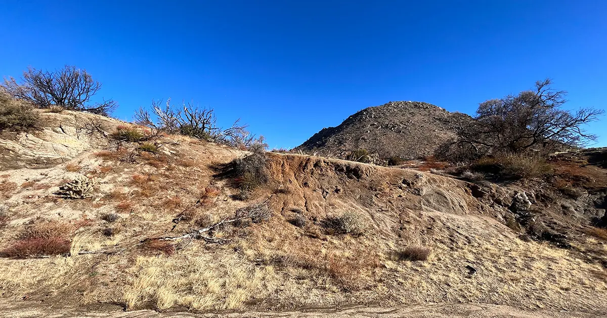
The OHWM form enables identification and documentation of the environmental conditions that are created by the flow of water in a “stream.” Perennial, and most intermittent streams, will be federal jurisdictional, and can be assessed using the OHWM form. The form provides detailed, standardized guidance for identifying the high water mark by focusing on hydrological indicators rather than the broader and sometimes more ambiguous wetland criteria. The high water mark is especially crucial in key drainage areas with intermittent or no wetlands, such as those commonly found in the Arid West.
Benefits for Your Projects and Clients
- Clearer Assessments and Robust Documentation: The OHWM form offers a straightforward method to identify water marks, enabling teams to conduct accurate standardized assessments at each site that provide a basis for professional calls in the event of litigation. By clearly delineating high water marks, you can demonstrate compliance with federal regulations, reducing legal risks and showing due diligence in your assessments.
- Consistency Across Regions: The OHWM manual represents a national effort to harmonize practices across the U.S. This consistency is vital for meeting best practices and ensuring thoroughness for clients to avoid legal trouble later, no matter where you’re working.
- Detailed Guidance: Packed with updated methodologies and technical guidance, the OHWM form is a reliable resource for field personnel. It helps you stay current with best practices and regulatory expectations.
Why Adopt the OHWM Form Now?
OHWM is a a powerful tool that protects your company and equips your client amid regulatory uncertainty. For civil engineering and environmental consulting firms, adopting this form isn’t just about compliance—it’s about providing top-notch service to your clients.
In states without their own wetland protections, this form becomes even more critical for environmental consultants. The Sackett ruling left a significant gap in federal protections, and the OHWM form helps fill that void, ensuring that your projects are assessed thoroughly and accurately. OHWM assessments are a smart, proactive approach that help environmental professionals deliver high-quality and defensible site reports and keep you and your clients in the clear.
March 14, 2025: This article has been updated since initial publication following the release of the final version of the OHWM form.

